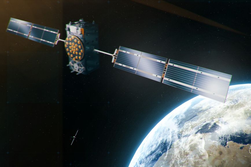
Positioning data obtained from satellites is used every day in Finland and in all other countries as well. This data is produced by the Global Navigation Satellite System (GNSS). GNSS includes the US-based GPS, the European Galileo, the Russian GLONASS and the Chinese BeiDou.
Interference or jamming?
Positioning satellites transmit signals from the space to Earth at the power of roughly 100 W. A GNSS receiver can identify signals based on the information they contain, which is why they can separate satellite signals from background noise. Because the distance to Earth is approximately 20,000 km, the power of the signal received is so weak that it can easily be jammed using a simple radio device. Typically, these jammers transmit a strong signal at GNSS frequencies so as to prevent GNSS signals from being received. When such a signal is sent by a single transmitter, its point of origin can be determined based on the angle of arrival of the RF signal. Not much power is required: a 1 W device can jam GNSS signals in such a large area as 20 km2.
Because the information contained by the signals is well-known, they can also be altered, and these altered signals can be used to spoof receivers. In spoofing, altered signals are transmitted to a receiver so that the position it calculates based on the signals is unreliable. Spoofing requires more skills and more sophisticated equipment, as it is necessary to generate similar signals as positioning satellites.
Interference is also caused by various natural factors, such as ionospheric scintillation, for which different correction services are available, malfunctions in GNSS or receivers (including any faults in satellite clocks or noise caused by equipment malfunctions) or unintentional radio interference caused by faulty electrical equipment, for example. Signals reflected from objects on Earth’s surface can also cause errors in positioning (i.e. multipath).
If the aim is to cause interference over a large area from a location on Earth, the curvature of Earth affects the way signals are received so that interference only affects objects located high above sea level, such as aircraft, and it may not be detected on Earth’s surface. Large-scale jamming affecting Earth’s surface requires several high-power directional antennas, and they must transmit signals at several different altitudes.
Information about irregularities through monitoring – research plays a key role
The Finnish Geospatial Research Institute (FGI) of the National Land Survey of Finland (NLS) conducts active research to develop solutions for monitoring, detecting, classifying and preventing GNSS jamming so that satellite positioning can be used at all times without any interruptions.
GNSS-Finland, a quality monitoring service for satellite signals, is a significant product of this research, providing information on the quality of satellite signals in Finland.
It is a national satellite signal quality monitoring service developed by FGI, which is always operational and openly accessible by all. The service is based on research assigned and financed by the Finnish Transport and Communications Agency (Traficom), which coordinates the use of radio signals in Finland. The goal is to use research results and the service provided broadly in society.
The GNSS-Finland service is based on GNSS reference stations in the FinnRef network for monitoring all satellite positioning systems and the quality of their signals transmitted at different frequencies.
GNSS-Finland transmits alarm messages to Traficom based on pre-defined criteria. These messages provide up-to-date information on interference in signals, for example.
Additional information:
GNSS-Finland monitoring service maintained by the NLS
The European Space Agency’s (ESA) Navipedia