The over 200-year-old National Land Survey of Finland performs various kinds of cadastral surveys such as parcellings and reallocations of pieces of land, produces map data and promotes the use of such data.
The National Land Survey of Finland safeguards the land ownership and credit system by maintaining information about properties and housing company shares in its registers and takes care of the registration of ownership and mortgages. Other tasks of the agency include spatial data research and application.
Verbal explanation of the picture.
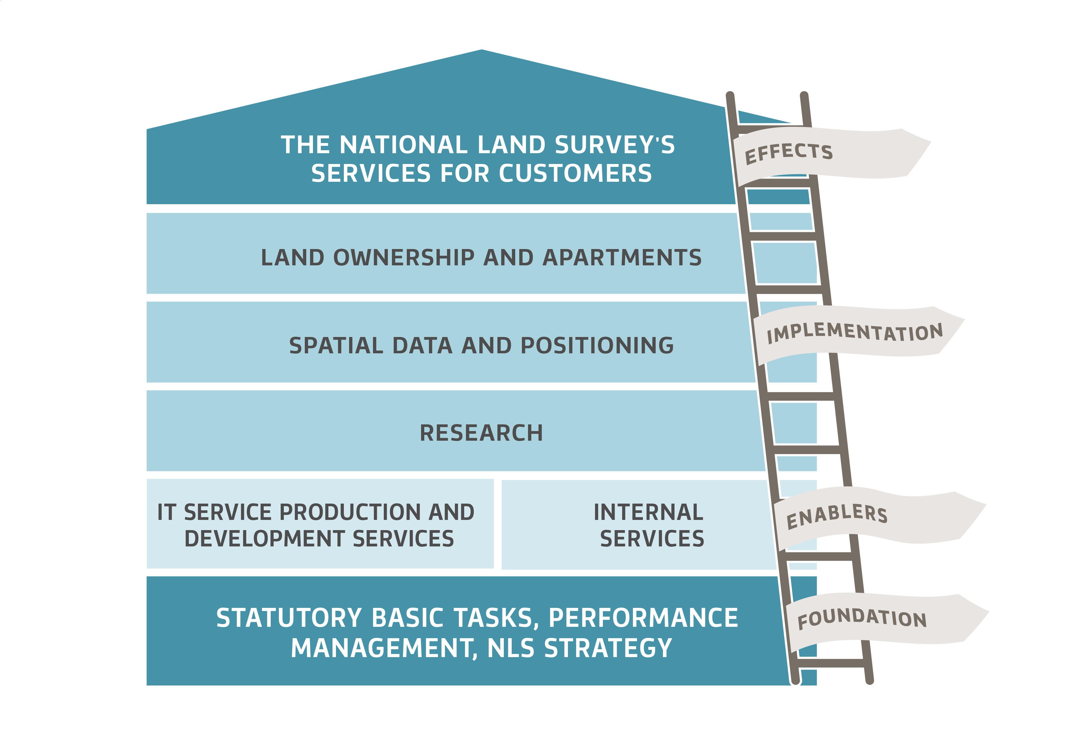
An illustration that shows the National Land Survey's role as an active participant in society. At the bottom is the foundation of NLS operations: statutory basic tasks, performance management, NLS strategy. The next floor consists of the enablers of NLS operations: IT service production and development services and Internal services. The following floor describes the implementation of key NLS operations: land ownership and apartments, spatial data and positioning, as well as research. At the top of the illustration are the effects of operations, the NLS's services for customers.
Verbal explanation of the picture.
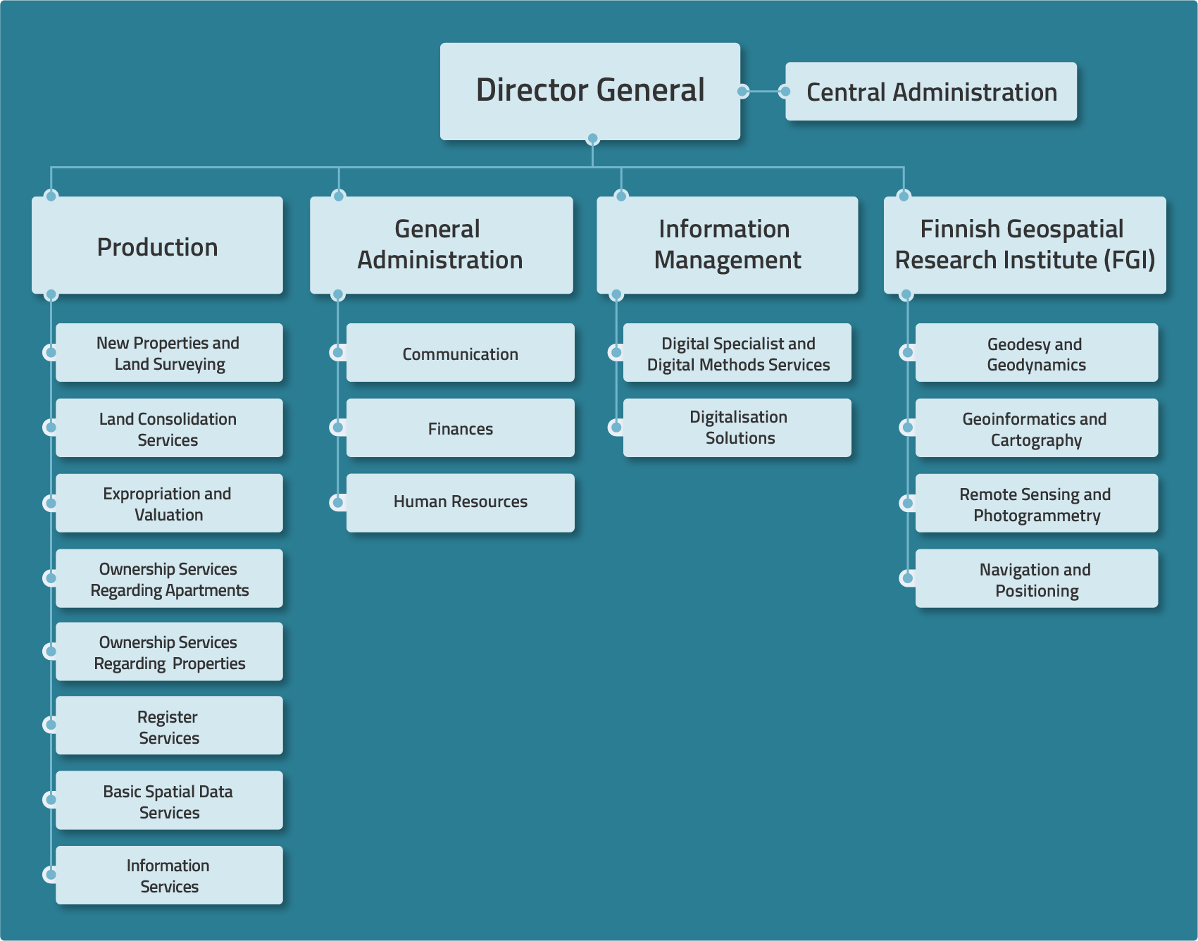
Director-General on the chart there are four operation units: Production, General Administration, Information Management and the Finnish Geospatial Research Institute (FGI). Below Production there are eight result units: New Properties and Land Surveying, Expropriation and Valuation, Land Consolidation Services, Ownership Services Regarding Apartments, Ownership Services Regarding Properties, Register Services, Basic Spatial Data Services, and Information Services.
Below General Administration there are three result units: Communication, Finances and Human Resources. Below Information Management there are two result units: Digital Specialist and Digital Methods Services, as well as Digitalisation Solutions. The Finnish Geospatial Research Institute has four research departments: Geodesy and Geodynamics, Geoinformatics and Cartography, Remote Sensing and Photogrammetry, as well as Navigation and Positioning.
The National Land Survey of Finland has offices in 36 localities across Finland, from Mariehamn to Ivalo. The number of employees totals approximately 1800.
Strategy
The National Land Survey's Strategy shows how we do things.
Our vision is We know the Earth – we secure the future.
These five strategic goals are the key elements of the strategy:
- We secure stability in society
- We anticipate our customers' needs
- We have an active impact through research and data
- We are a responsible and attractive workplace
- We are reforming our modes of operation.
Vision and strategic goals (pdf)
Values
The values of the National Land Survey of Finland are
- A reliable partner
- Will to serve
- Courage and the ability to create something new
- Different together
Our values steer and shape the organisational culture.
International activities
We actively participate in international projects as well as in the activities of several international organisations. The National Land Survey of Finland operates, where necessary, as a monitor in development cooperation projects at the request of the Ministry for Foreign Affairs.
The National Land Survey's international operations focus on the European Union. The main forums for international activities are cooperation between the European mapping and cadastre agencies, especially Nordic cooperation, cooperation with the Baltic countries and EuroGeographics cooperation. The National Land Survey also participates in the activities of the UN, selected organisations and their conferences, as well as in the preparation of international norms and regulations.
Directors
Pasi Patrikainen, Director General
Marja Helin, Secretary to the Director General
Production
Irma Lähetkangas, Deputy Director General
Directors of the result units
Mauri Asmundela, expropriation and valuation
Stefan Nåhls, ownership services regarding properties
Heli Laaksonen, basic spatial data services
Heikki Lind, register services
Janne Murtoniemi, ownership services regarding apartments
Petri Notko, new properties and land surveying
Timo Potka, land consolidation services
Jani Hokkanen, information services
Finnish Geospatial Research Institute (FGI)
Jarkko Koskinen, Deputy Director General
Heads of Department
Juha Hyyppä, Remote Sensing and Photogrammetry
Sanna Kaasalainen, Navigation and Positioning
Hannu Koivula, Geodesy and Geodynamics
Juha Oksanen, Geoinformatics and Cartography
Information Management
Jani Nissinen, Chief Information Officer (CIO)
Heads of Department
Jenni Mielikäinen, Digital Specialist and Digital Methods Services
Mikko Tallgren, Digitalisation Solutions
General Administration
Maija-Liisa Niskala, Administrative Director
Directors of the result units
Mirva Kipinoinen, Director of Communication and Social Responsibility
Arto Mikkola, Financial Director
Johanna Snellman, Director of Human Resources
Central Administration
Susanne Hellman, Director of Customer Relations
Ari Huvinen, Security Director
Petri Korpinen, Deputy Director Generalr
Jani Kylmäaho, Director of Development and Digitalisation
Markku Markkula, Deputy Director General
Mari Laakso, Research Director
Juha Tuomaala, Ecosystems Director
Heli Ursin, Head of International Affairs
History
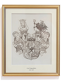
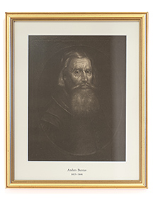
The roots of Finnish land surveying go back to the 17th century. The Swedish King Gustavus Adolphus (1594–1632) assigned Andreas Bure (1571–1646, before ennoblement Bureus) the task of drawing up geographical maps of the area of current Finland. Surveyors trained by Bure mapped among others trade routes, the tax-paying ability of farms as well as natural resources.
After having been under Swedish rule for hundreds of years, Finland became a part of Russia in 1809, and a Survey Office was established in the Grand Duchy of Finland in 1812. In 1848, the name of the Head Survey Office changed to the National Board of Land Survey. In the 1850s, the Finnish forest resources became an object of commercial interest, and the administration of forests was combined with surveying. The result was the Board of Land Survey and Forestry, whose main task was to map state-owned forests and to investigate the quality and extent of forests. The union between the administration of forests and surveying ended when Metsähallitus (forest administration agency) was founded in 1859.
After Finland had gained independence, land surveying tasks were separated and distributed to different departments. The technological development clarified the geographical image of Finland. Basic maps covering the entire country were completed in the 1970s. In the 1990s, Finland transferred from a planned society into an information society. The Board of Land Survey became the National Land Survey of Finland and its activities became more customer-oriented. As the use of the Internet has become more widespread, the National Land Survey has started to offer more services online. The conventional way of filing cadastral survey documents and maps in paper form for centuries has become exclusively electronic in the 2000s.
The Finnish Geodetic Institute (FGI) – a top research institute with a focus on geographic information – and the ICT development functions of the Information Centre of the Ministry of Agriculture and Forestry (Tike) were merged with the National Land Survey at the start of 2015. At the start of 2019 a part of ICT development functions Customer Solutions Department and Technology Solutions Department were merged with the Finnish Food Authority.

(2012–2022)
(1991–2012)
(1972–1991)
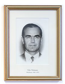
(1960–1972)
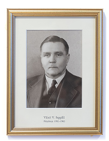
(1950–1960)
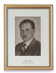
(1929–1950)
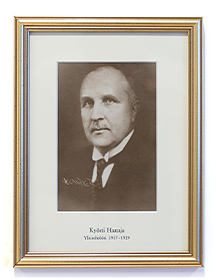
(1917–1929)
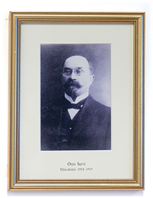
(1915–1917)
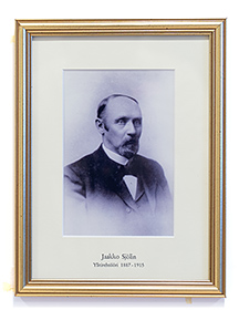
(1887–1915)
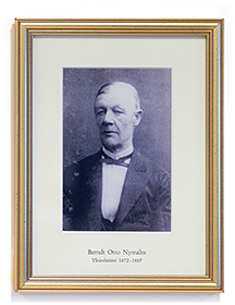
(1872–1887)
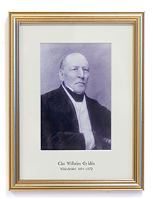
(1854–1872)

(1847–1854)
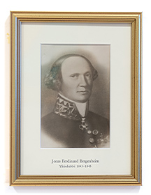
(1843–1845)
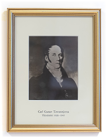
(1828–1843)
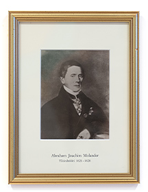
(1821–1828)
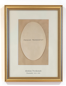
(1812–1820)
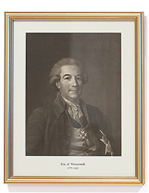
(1777–1822)
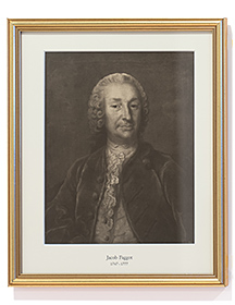
(1747–1777)
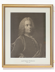
(1709–1747)
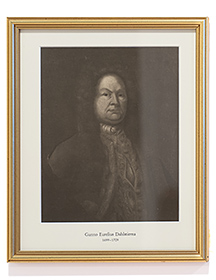
(1699–1709)
(1694–1699)
(1683–1694)
(1603–1646)