Maanmittauslaitos yhdessä 27 partnerin ja 20 muun yhteistyökumppanin kanssa muodostavat Paikkatietoinnovaatiohubin (The Location Innovation Hub LIH). Sen tavoitteena on laajentaa paikkatiedon eli sijaintiin liittyvän tiedon hyötykäyttöä palveluissa, uudessa liiketoiminnassa ja teknologiassa sekä tuottaa näiden avulla uusia hyötyjä yhteiskunnalle.
Työ- ja elinkeinoministeriö valitsi Suomen ehdokkaat, joiden joukosta Euroopan Komissio valitsi Paikkatietoinnovaatiohubin sekä kolme muuta hubia EU:n digitaaliseen innovaatiohubiverkostoon. Ne toimivat digi-investointeja sekä yritysten ja julkisen sektorin digitalisaatiota vauhdittavina palvelukeskuksina. Toiminta Paikkatietoinnovaatiohubissa käynnistyy vuonna 2023.
Suomessa on jo valmiiksi vahvaa paikkatiedon osaamista. Maanmittauslaitoksen Paikkatietokeskus FGI sijoittui suomalaisten tutkimuslaitosten ykkössijalle Suomen akatemian teettämässä tieteen vaikuttavuutta seuraavassa Tieteen tila -tilastossa.
Tukea yrityksille, innovaatioita ja etuja uusista teknologioista
Paikkatietoinnovaatiohubin vahvuutena on laaja verkosto, joka koostuu niin yrityksistä, tutkimuslaitoksista ja yliopistoista kuin julkisesta sektoristakin.
- Mukana on Suomen paikkatietoalan huipputekijät, mikä luo yrityksille ja julkiselle sektorille erinomaisen tilaisuuden kehittää uusia innovaatioita. Se tukee paikkatietopoliittisen selonteon mukaista tavoitetta kehittää Suomeen maailman innovatiivisin ja turvallisin paikkatiedon ekosysteemi, kertoo Maanmittauslaitoksen Paikkatietokeskuksen ylijohtaja Jarkko Koskinen.
- Paikkatietoinnovaatiohubin verkosto ulottuu Eurooppaan ja laajemmin myös maailmalle. Tästä verkostosta on etua digitaalisten kaksosten kehittämisessä sekä rahoituksen hakemisessa.
Paikkatiedosta ratkaisuja ilmastonmuutoksen ja kaupungistumisen haasteisiin
Paikkatietoinnovaatiohubi vahvistaa Suomen kyvykkyyttä paikkatiedon käytössä kokoamalla yhteen alan osaajat. Se tarjoaa niin teknistä kuin liiketoiminnankin tukea paikkatiedon hyödyntämiseen. Se myös muodostaa paikkatiedon testialustoja laajasti sisätilapaikannuksesta, automaattiajoneuvojen testiympäristöihin sekä digitaalisia testidatoja. Lisäksi se kehittää paikkatieto-osaamista tekoälyn ja kyberturvallisuuden aloilla. Paikkatietoinnovaatiohubi tarjoaa verkostoja myös Eurooppaan ja sen ulkopuolelle.
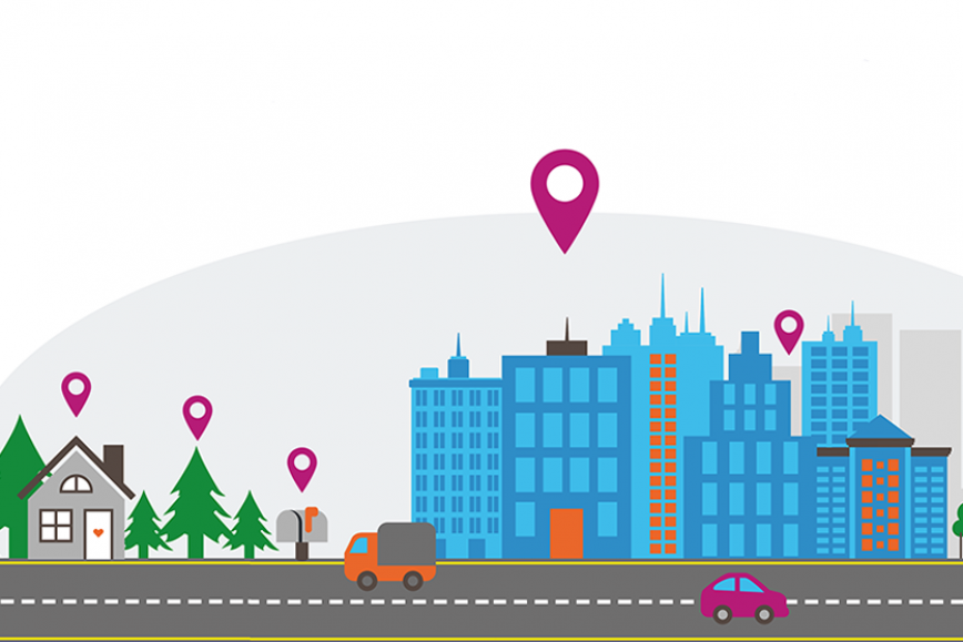
Paikkatietoon perustuvat innovaatiot tuovat mukanaan mahdollisuuksia niin uudelle liiketoiminnalle kuin lukuisiin yhteiskunnan tarpeisiin. Hyötyjä saadaan muun muassa digitaalisista kaksosista eli digitaalisesti mallinnetuista reaalimaailman kohteista.
- Pitkän aikavälin visionamme on kehittää data avaruuksia, kuten digitaalisia kaksosia. Niiden avulla yritykset voivat kehittää uusia ratkaisuja esimerkiksi ilmastonmuutoksen ja kaupungistumisen lukuisiin haasteisiin. Lisäksi Paikkatietoinnovaatiohubin laaja verkosto tarjoaa ideaalin ympäristön uusien sovellusten testaamiseen, kertoo yli-insinööri Antti Jakobsson Maanmittauslaitoksesta.
Katso Paikkatietoinnovaatiohubin yhteistyökumppaneiden lista täältä. Valitse välilehti Candidate European DIHs and ja etsi LIH.
Lisätietoja
Jarkko Koskinen, ylijohtaja, Paikkatietokeskus 050 337 2902, etunimi.sukunimi@maanmittauslaitos.fi
Antti Jakobsson, yli-insinööri 050 5994123, etunimi.sukunimi@maanmittauslaitos.fi