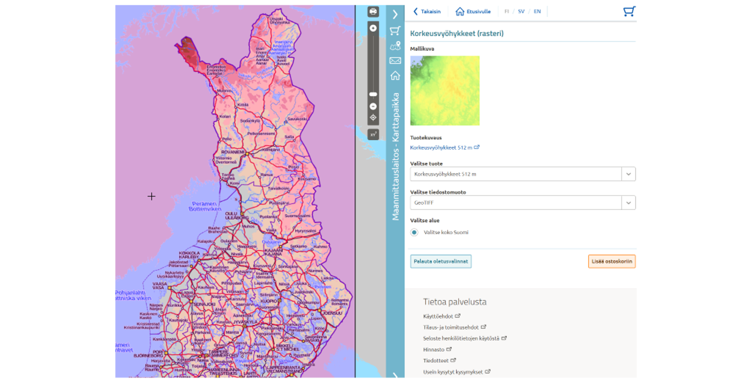
Elevation zone raster data, covering the whole Finland (pixel size 512m), has now been added for downloading in the beta version of the NLS Open data file download service.
You can find the download function for the datasets in the menu in the right margin of the MapSite under "Download open data".
New datasets are gradually made available in the service during the year. The goal is to introduce the production version of the service during 2022. Until then, the current File service of open data can be used as usual.
Users of the OGC API Processes interface, which works as a background service for the user interface service, have had access to a larger number of datasets since 17 May. In addition to the datasets in the interface, the background service offers the following datasets through the interface:
- Division into administrative areas (vector and raster) (scale versions 1:10 000 - 1:4.5M)
- Map sheet grid (TM-35)
- Hillshade 512m pixel size (whole country)
- Geographical names (map names and place names)
- Topographic map (vector) (scale versions 1:100 000 - 1:4.5M)
These same datasets will be downloadable also through MapSite in June. More information (in Finnish) about the use of the OGC API Processes interface.