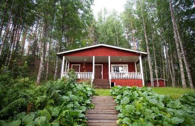
Do you want to know who owns a property unit? Check the information in our registers.
Who owns this property unit?
As a property owner, you need to know about the rights and obligations that concern your property.
Do you need information about properties?
When the owner of a property changes, the new owner needs to register the ownership.
Register your ownership of a property
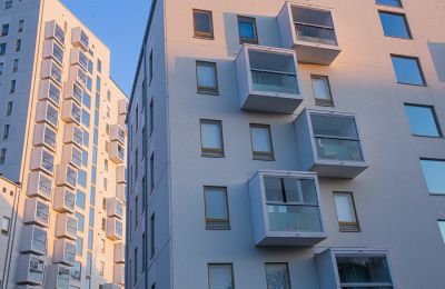
Apartment owner: how to register the ownership of your apartment
Our how-to guide helps in various situations
Apartment owner: check your contact information.
Information for apartment owners
Do you need an apartment printout for an apartment purchase?
Buy an apartment printout or a list of shares

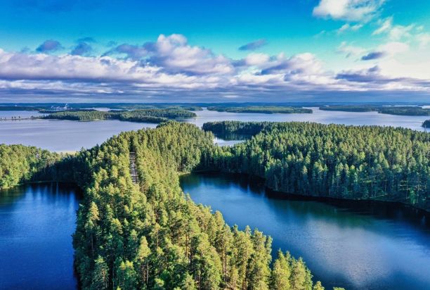
Browse and buy maps. You can also download geospatial data.
Go to the MapSite
You can buy both historical and current maps and aerial images from the National Land Survey.
Take a look at our map services
The National Land Survey produces geospatial data for professionals covering all of Finland.
Topographic data and how to acquire it
Topical issues
Did you know that our research is top class?
Take a look at the Finnish Geospatial Research Institute's research subjects – for example our geoid model that improves the accuracy of geospatial data.
Read more about our research
New way to register apartment ownership
Physical share certificates become a thing of the past when apartment ownerships are registered in the Residential and Commercial Property Information System.
Read more about New way to register apartment ownership
Building a sustainable future
We will increase the societal handprint of our operations and reduce our footprint.
Read more about Building a sustainable future
Open positions at the National Land Survey
The National Land Survey is a modern and flexible employer. We provide opportunities for a large variety of professions and positions nationwide.
Read more about Open positions at the National Land Survey