Next summer, the National Land Survey’s airplane will fly at an altitude of about 7 kilometres and flies in zig zag figures over various parts of Finland. The National Land Survey is collecting data for the Finnish aerial photography and laser scanning programme that will be used by several authorities.
During the summer, about a third of Finland will be photographed and a about sixth will be laser scanned. The result of the aerial photography is digital photographs and the result of the laser scanning is a point cloud that specialists at the National Land Survey use to create a 3D model of terrain formations, trees and buildings, for example.
Open data and significant datasets for use by authorities
The National Land Survey uses the data from the flights to maintain the Topographic Database, the most precise map data covering the entire country. This work is important; it ensures that we can produce reliable maps and spatial data both now and in the future.
Metsähallitus and the Finnish Forest Centre use the data for forest inventories, for example to classify tree species. The Finnish Food Authority uses the data to monitor fields where crops are grown to determine agricultural subsidies. Other users include the Finnish Environment Institute and Finnish Defence Forces.
In addition, the datasets will be available free of charge from the MapSite – in a slightly less detailed version for security reasons. Before publication, specialists at the National Land Survey will process and rectify the raw data from the flights to ensure its usability, because aerial photographs are distorted by the movements of the aircraft, the atmosphere and the elevation profile in the terrain, for example. During the summer, aerial photograps are published on the MapSite as they are completed. At the same time, the Topographic Database update based on the new aerial photograps will be started.
New cooperation responds to the needs of society and saves taxpayers’ money
The Finnish aerial photography and laser scanning programme that began in 2020 will end this year. Currently a new programme is being planned that is intended to start in 2026. The goal is to extend this cooperation to a larger number of organisations and to collect more precise data for the changing needs of society.
‘Society needs ever more precise spatial data to develop its functions. More precise aerial photograps and laser scanning data give more information about forests and carbon sinks, for example’, says the National Land Survey’s Head of Cartography Juha Kareinen.
The total costs of acquiring aerial photograpy and laser scanning datasets amount to about 4.3 million euros per year. None of the participating organisations would be able to finance such large annual data acquisitions on its own. When we work together we get more for less, because according to an estimate from 2019, simply the organisations that participated in the programme received a benefit of 11 million euros for an investment of 4.3 million euros.
‘In future it will be possible to distinguish ever smaller details from the more detailed data, such as parts of the road and rail networks, which will lessen the need for separate data collection by municipalities and other organisations in the public sector. This means less duplicated work and saves millions of euros in taxpayers’ money every year’, says Kareinen.
Finnish aerial photography and laser scanning programme
|
Weather affects flight schedules
‘The flight schedule is largely determined by the weather, which is why we do not know exactly when a particular area is going to be photographed. Aerial photography from an aircraft requires completely cloudless weather to ensure that the area to be photographed is not covered by clouds. In addition, the sun needs to be high enough in the sky so that elements of the photograph are not hidden by shadows. For this reason, aerial photography flights are scheduled for the summer months’, says Kareinen.
Look at the areas that will be photographed during the summer on our situation maps (in Finnish, see ilmakuvauksen tilannekartta and laserkeilauksen tilannekartta).
GNSS interference can interfere with flights – a new research project to find solutions
Last year, parts of the aerial photography and laser scanning datasets in South-Eastern Finland were destroyed by intentional GNSS interference. The interference that has been increasing in Finland since 2022 causes harm to all users of satellite positioning, such as air traffic and marine traffic. It also causes risks for the annual photography and laser scanning flights. Researchers at the National Land Survey are developing and testing the detection of GNSS interference and how to mitigate the harm it causes in an EU-funded research project.
Links
Look at laser scanned areas on our map that is updated as the fligts are undertaken (in Finnish)
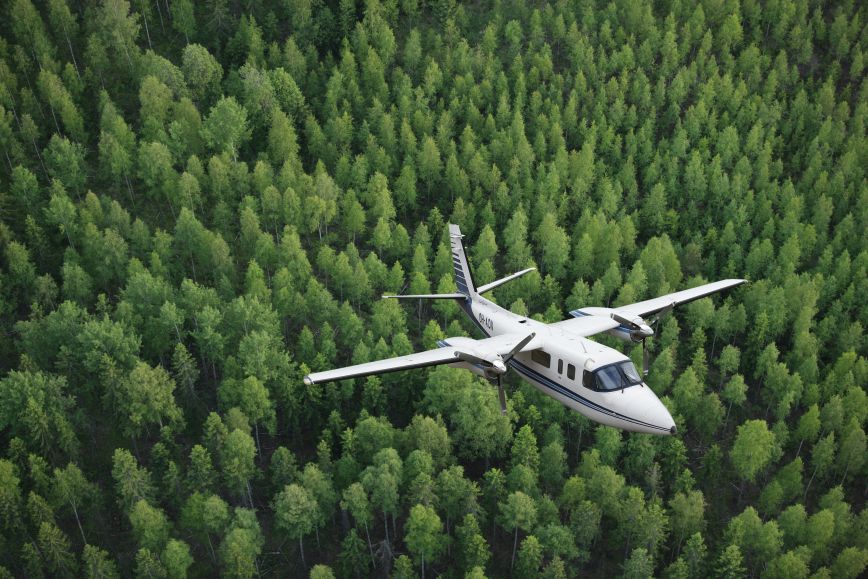
Follow the flights of the National Land Survey’s aircraft OH-ACN in the flightradar24 service
Look at our updated datasets on the MapSite
Further information
Head of Cartography Juha Kareinen (aerial photography and laser scanning programme), National Land Survey of Finland, +358 29 531 5030, firstname.lastname@nls.fi