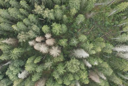
Drones are used to detect spruce bark beetle’s damage to trees faster than before
Researchers at the National Land Survey of Finland have developed an artificial intelligence method that helps detect the early signs of damage faster.
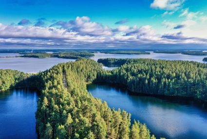
Use geospatial data to enrich your hiking experience
In Paikkatietoikkuna sercive, you can plan your upcoming hikes by saving hiking or jogging trails.
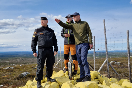
The review of the state boundary between Finland and Norway is nearing completion – the final inspection of terrain work is complete
The Finnish and Norwegian border commissions completed the final inspection of terrain work on the national border between Finland and Norway in June.
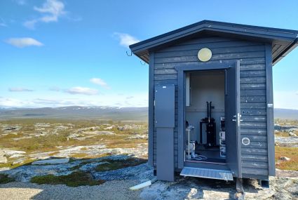
How strong is gravity in Lapland and do you know what it affects?
Finland’s gravity is in constant motion which is why researchers from the Finnish Geospatial Research Institute (FGI) of the National Land Survey of Finland (NLS) measure it every year.
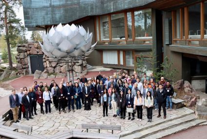
What does the future of location-based services look like? Three points
Location Based Services 2025 (LBS2025) provided insights into what is happening in the growing field and what kind of opportunities the development will bring.