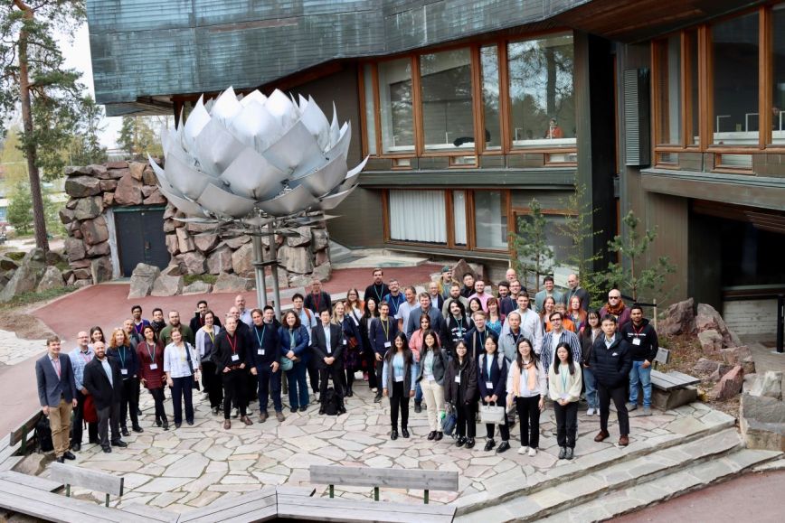
The Finnish Geospatial Research Institute of the National Land Survey of Finland conducts internationally esteemed research in the field of geospatial data. Presenting the latest research on location-based services, the 19th International Conference on Location Based Services 2025 (LBS2025) provided insights into what is happening in the growing field and what kind of opportunities the development will bring. The event is part of the International Cartographic Association’s (ICA) series of conferences on location-based services. The following three factors, among others, are influencing the field at the moment.
1. How can data collected about individuals and the environment be effectively used in society while respecting everyone’s right to control the use of their data?
How can data be made available to researchers and city developers? Already today, location-based services collect data that would be valuable to both researchers and society. However, the data belongs to companies, and the volume of data collected in the future is expected to increase. Legislation could be used to direct companies to share data for useful purposes.
As more and more data is collected about the users of digital services, the users’ right to decide on the use of their data must be taken into account. An individual’s positioning data is considered personal data because it can be used to directly or indirectly identify a person. The use and processing of this data is regulated by the General Data Protection Regulation (GDPR) in the EU. The National Land Survey promotes location-based services that respect privacy and in which individuals are the primary controllers of their data. Examples include the Geoprivacy project and the data sharing service created in it. The Finnish Geospatial Research Institute FGI is pilot testing methods for publishing individual-level movement data while preserving the privacy of individuals.
2. How to prepare for situations where interference prevents positioning?
Most location-based services in use today need satellite positioning to work. Deliberate interference with positioning, as well as natural causes of interference, create situations where satellite positioning does not work. In such a case, any location-dependent services will not work either. It is therefore important for societies to develop the resilience of positioning by improving the receivers’ resistance to disturbances and by developing new positioning methods independent of satellite positioning, for example. Research into resistance to disturbances and hybrid positioning must be invested in and new information on these subjects needs to be produced.
3. The utilisation of the user’s location and other geospatial data offers unlimited new opportunities
Over the years, satellite positioning and location-based services on our mobile devices have introduced public transport route guides, various ride services, electric scooter rental, games based on the user’s actual location, food delivery services, air quality maps and many other services as a part of our everyday lives. Experiments in drones and intelligent transport, augmented reality and the use of artificial intelligence are topical issues, and new services are constantly appearing on the market. Location-based services that are highly tailored to the individual needs of end users and make extensive use of the environmental context create tremendous opportunities for new business.
Location-based data provides information about people’s actions and can be harnessed to meet the needs of growing cities. Data helps cities to develop cost-effective, well-functioning services and environments, as well as to reduce emissions. Location-based services also provide researchers with completely new perspectives on how people move within cities and what kind of research information is needed to support decision-making in well-functioning cities.
More information and pictures from the conference: https://lbs2025.lbsconference.org/
Further information
Juha Oksanen, Professor, Head of Department, Finnish Geospatial Research Institute of the National Land Survey of Finland, +358 40 831 4092, firstname.lastname@nls.fi


