Research methods are based on the remote sensing of forests. They use datasets from the national laser scanning and aerial photography programme, field measurements, and AI methods. In the supervision of legislation, measurements will be carried out in smaller areas using drones. The methods to be developed also help analyse changes in forest environments and the ground surface.
Benefits for the forest sector and biodiversity
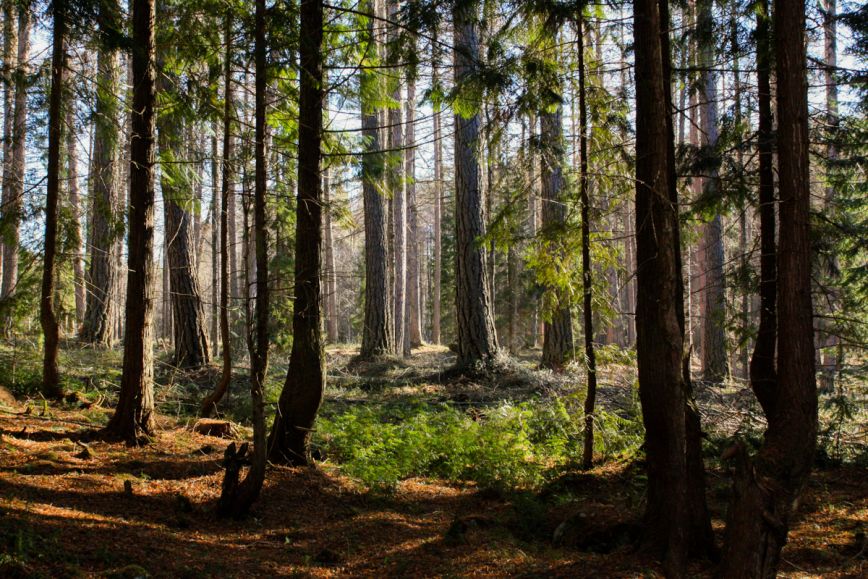
The research project provides forest data of a significantly higher quality than before: individual larger trees and their properties such as tree species, tree diameter and location can be identified from the data.
For forest owners, the results will eventually be available in the information services provided by the Finnish Forest Centre, including the Metsään.fi service. Accurate data helps make informed decisions in forest management and wood trade.
‘Data on individual trees produces significant benefits for forest owners. For example, large logs in particular should be used as sawn goods and not as pulp. This makes sense both from the point of view of the financial and natural values of wood,’ says Professor Juha Hyyppä from the Finnish Geospatial Research Institute (FGI) of the National Land Survey of Finland.
The research project also provides data on tree growth locations and forest biodiversity.
‘Our aim is to separate decayed trees, large deciduous trees and rarer growth locations such as groves from the dataset. These variables will be needed in the future to monitor the EU Nature Restoration Law and other EU regulations. There is much talk about nature data at the moment, and these are a few concrete indicators to collect it,’ says Jussi Lappalainen, Service Manager for Forest Data at the Finnish Forest Centre.
In the research project, the NLS is responsible for the development of methods and the Finnish Forest Centre for forest expertise, as well as for field measurements as teaching material for remote sensing. Both have studied the specification of forest data and the identification of individual trees in their previous projects, FGI already in 2000. The project is funded by the Ministry of Agriculture and Forestry.
Systematic data required for the maintenance of forest resource data and the supervision of legislation
In the future, the whole of Finland will be laser scanned in a nine-year cycle, and the accuracy of data will increase from five to twenty points per square metre. Between each scan, the Finnish Forest Centre will update forest resource data using different datasets. For example, harvesters provide data on removals, while the data does not cover the whole country. In the research project, more frequently available remote sensing data such as aerial photographs and satellite data will be tested to interpret changes in forests.
Forest resource data will also be used in the supervision of the Forest Act, but its accuracy is not sufficient for all purposes. To specify data, the Finnish Forest Centre will fly drones over the studied areas. The research project will identify which parts of the data required in the supervision of legislation can be obtained from the new more accurate laser scanning dataset and where drones or field measurements are needed.
‘The project’s major goal is to improve forest resource data and the supervision of legislation without having to visit forests more frequently. This also makes the use of public funds more effective,’ says Jussi Lappalainen.
The research project will continue from 2025 to 2028. Datasets produced using the methods developed in the project will be gradually added to the Finnish Forest Centre’s information services.
The research project is part of UNITE, a flagship of the Research Council of Finland, which studies and develops the forest-human-machine interplay.
Further information
Juha Hyyppä, Professor, Finnish Geospatial Research Institute of the National Land Survey of Finland, firstname.lastname@nls.fi, +358 41 519 4451
Eetu Puttonen, Associate professor, Finnish Geospatial Research Institute of the National Land Survey of Finland, firstname.lastname@nls.fi, +358 50 364 0555
Jussi Lappalainen, Service Manager, Forest Data, Finnish Forest Centre, firstname.lastname@metsakeskus.fi, +358 50 018 6614
Read more about previous projects: