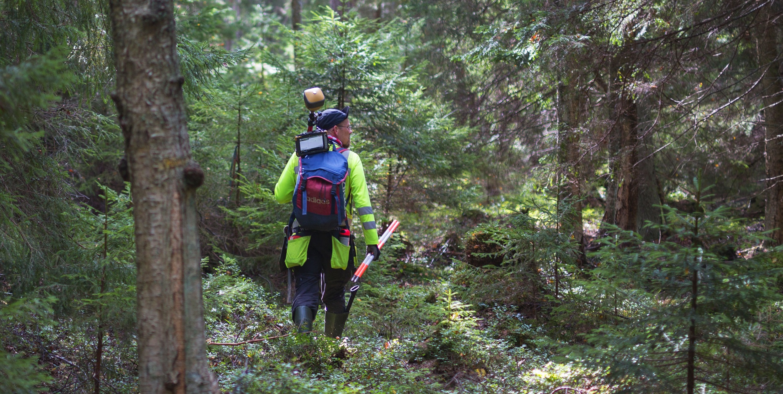
The FINPOS RTK service contains the most accurate real-time correction methods. In addition to the traditional observation-based RTK methods, so-called SSR correction data (also known as PPP-RTK) is available from the RTK service. SSR corrections are a newer method than RTK and may therefore not work for a large part of RTK hardware/software.
The National Land Survey of Finland grants FINPOS RTK service only for research and testing purposes, for example, for the development of new positioning methods, devices and services. The applicant must justify the need to use the RTK service when creating user account.
The access to the RTK service is granted on application for three months at a time. The recipient must then provide feedback on the RTK service before access to the RTK service can be renewed.
The National Land Survey of Finland has used the FINPOS network RTK and DGNSS in its own production since 2021.
Description of the service (RTK)

In the VRS method, the user's device must send the FINPOS service an approximate position as an NMEA message, based on which the service creates a virtual base station (VRS) for the user. The user's receiver receives the precise coordinates of the virtual reference station and the observations by which it determines its location in relation to the virtual reference station. From the mountpoints, VRS-FKP and VRS-FKP-OLD transmit data of a virtual reference station.
In addition to the VRS method, the user may receive data from a single reference station. The SINGLE mountpoint automatically connects the user to receive data from the reference station which is closest to the position the user has sent.
The coordinates of the base station and the virtual base station to be transmitted from the RTK service are in the EUREF-FIN coordinate system.
The mountpoints of the FINPOS service send the user the following RTCM messages:
| Message type | Transmission interval (sec) | VRS-FKP | SINGLE | VRS-FKP-OLD | Content |
|---|---|---|---|---|---|
| 1004 | 1 | x | L1 & L2 GPS Observations | ||
| 1006 | 10 | x | x | x | Location of the base station (VRS), coordinates EUREF-FIN |
| 1008 | 10 | x | x | x | Reference station’s antenna type |
| 1012 | 1 | x | L1 & L2 GLONASS Observations | ||
| 1013 | 10 | x | Parameters: Reference station ID, modified Julian date (MJD), leap seconds (GPS-UTC difference), etc. | ||
| 1030 | 10 | x | Network RTK residuals for GPS | ||
| 1031 | 10 | x | Network RTK residuals for GLONASS | ||
| 1032 | 10 | x | x | x | Location of the base station (nearest physical), coordinates EUREF-FIN |
| 1033 | 10 | x | x | x | Reference station’s antenna and receiver type |
| 1074 | 1 | x | x | GPS observations (MSM4) | |
| 1084 | 1 | x | x | GLONASS observations (MSM4) | |
| 1094 | 1 | x | x | Galileo observations (MSM4) | |
| 1124 | 1 | x | x | BeiDou observations (MSM4) | |
| 1230 | 10 | x | x | x | GLONASS code and phase observation difference |
Using the service
The data from the service is sent to the user via the internet in accordance with the NTRIP protocol. Enter the information below into the NTRIP client on your device/software to access the service. To receive the data, the user's device must send an approximate location to the service as an NMEA message.
| URL | opencaster.nls.fi |
| Port |
2101 (unencrypted) or 2105 (TLS encrypted) Not all devices may support TLS encrypted traffic, use port 2101 |
| Username and password | Created during registration |
In addition to this information, select the mountpoint of the desired correction data from the following:
| Mountpoint | Description |
|---|---|
| VRS-FKP | The service utilises error modelling of the entire reference station network and sends individualized virtual data (RTCM3.2, MSM4) to the user's location. Data for GPS, GLONASS, Galileo and BeiDou |
| SINGLE | The service automatically links the user to the nearest reference station data (RTCM3.2, MSM4) |
| VRS-FKP-OLD | The service utilises error modelling of the entire reference station network and sends individualized virtual data (RTCM3.1) to the user's location. Data for GPS and GLONASS |
| LIIKKUVA-VRS | Same as VRS-FKP, but changes the used base station according to the movement during the connection. Suitable for use in cases where several tens of kilometres are travelled on the same connection |
| LIIKKUVA-SINGLE | Same as SINGLE, but changes the used base station according to the movement during the connection. Suitable for use in cases where several tens of kilometres are travelled on the same connection |
All available mountpoints can be found in the sourcetable of the service.
Description of the service (SSR)

SSR corrections have not been standardised in the same way and have not been generally introduced e.g. into the RTCM standard, such as RTK data messages. Several different formats have been created for SSR data, the data content of which is, however, generally the same. Below is a description of different SSR formats that currently exist and the correction parameters they contain. The table contains links to more detailed descriptions in the format names.
SSR corrections do not include coordinate conversions between reference frames. Therefore, if the end-user device/application does not perform coordinate conversions, the result will be ITRF/WGS84 coordinates.
| RTCM-SSR | IGS SSR | SSRZ | SPARTN | 3GPP LPP | ||
|---|---|---|---|---|---|---|
| SSR correction parameter
|
|
|||||
| Satellite clock | high-rate | x | x | x | x | x |
| low-rate | x | x | x | |||
| Satellite orbit | x | x | x | x | x | |
| Satellite code bias | x | x | x | x | x | |
| Satellite phase bias | x | x | x | x | x | |
| Ionosphere | global (VTEC) | x | x | x | ||
| global (STEC) | x | |||||
| regional (STEC) | x | x | x | |||
| residual (grid) | x | x | x | |||
| Troposphere | global | |||||
| regional | x | x | ||||
| residual (grid)) | x | x | x |
Using the service
The data from the service is sent to the user via the internet in accordance with the NTRIP protocol. Enter the information below into the NTRIP client on your device/software to access the service.
| URL | opencaster.nls.fi |
| Port |
2101 (unencrypted) or 2105 (TLS encrypted) Not all devices may support TLS encrypted traffic, use port 2101 |
| Username and password |
Created during registration |
In addition to this information, select the mountpoint of the desired correction data from the following. SSR data includes error modelling for different regions. Use this map to select a region and its associated mountpoint.
| Mountpoint | Kuvaus |
|---|---|
| RTCM-SSR-* | Data in RTCM-SSR format. * represents a region, see regions on map |
| IGS-SSR-* | Data in IGS SSR format. * represents a region, see regions on map |
| SSRZ-* | Data in SSRZ format. * represents a region, see regions on map |
| SPARTN-* | Data in SPARTN format. * represents a region, see regions on map |
| 3GPPLPP-* | Data 3GPP in LPP format. * represents a region, see regions on map |
All available mountpoints can be found in the sourcetable of the service.

