Plain map series (raster)
The Plain map series is a simple, plain and readable dataset product series in raster format that depicts the whole of Finland. The product is meant to be used as a background map whose character changes to a guide map in large scales. Impaired vision has been taken into account when designing the product. The key objects presented on the map are roads and railways, road names, buildings and constructions, administrative borders, waterways and other geographical names. The road network, public buildings and texts have been especially emphasised. The most usual limitations of colour vision have been taken into account in the use of colours.
The product belongs to the open data of the National Land Survey of Finland.
Purpose:
The Plain map series is applicable to be used as a background material in accessible/free map services. The product is applicable to be used at levels 0–15 in the tile matrix defined in the JHS 180 recommendation.
Geographic location
Entire Finland
Reference system
ETRS89 / TM35FIN(E,N) (EPSG:3067)
Pixel size
0.5 m
2 m
4 m
8 m
16 m
32 m
64 m
128 m
256 m
1024 m
2048 m
Spatial representation
Raster
Data content
The data content is based on the Topographic database and, in smaller scales, on the Topographic map series. The data content expands as the scale gets larger. The data content includes objects that are essential when locating your position. The images have been antialiased. The resolution levels used are levels according to the JHS180 recommendation (in Finnish): https://geoforum.fi/jhs-180-paikkatiedon-sisaltopalvelut/
Plain map raster JHS levels 13–14
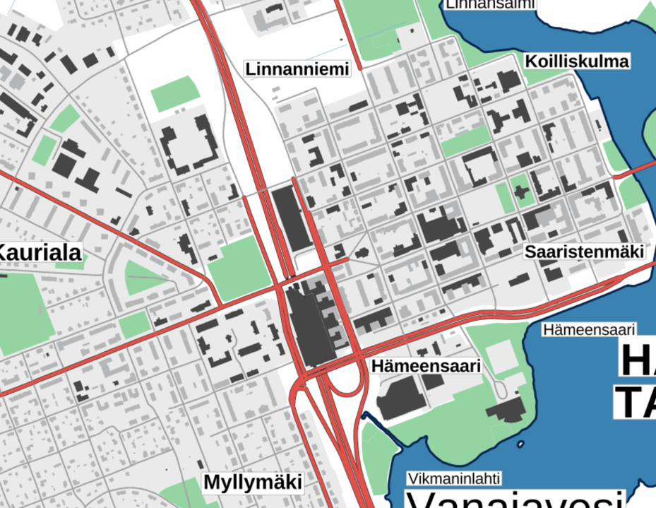
The key objects are roads (also paths suitable for driving as well as walking and cycling routes), road names, buildings and constructions, railways, geographical names, administrative borders, population centres, lakes, ponds, rivers, ditches and fields.
Plain map raster JHS level 12
The key objects are roads, parks, buildings and constructions, railways, geographical names, population centres, lakes, ponds, rivers, ditches and fields.
Plain map raster JHS level 11
The key objects are roads, railways, geographical names, population centres, lakes, ponds, rivers, ditches and fields.
Plain map raster JHS level 10
The key objects are roads, railways, geographical names, population centres, lakes, ponds, rivers and ditches.
Plain map raster JHS levels 8–9
The key objects are geographical names, roads, railways, population centres, lakes and ponds.
Plain map raster JHS levels 6–7
The key objects are geographical names, roads, railways and lakes.
Plain map raster JHS levels 2–5
The key objects are geographical names and roads.
Maintenance
Maintenance
Updating frequency: Plain map raster JHS levels 13–14 and geographical names are updated every week. Other JHS levels are updated once a year.
Quality information
Lineage
The source material used in the Plain map series is based on the National Land Survey's Topographic database and Topographic map series. Regarding positional accuracy, the most accurate scales of the Background map series correspond to the most accurate nationwide map dataset in raster format, i.e. Basic map raster that is based on the Topographic database.
The source data of each plain map raster level is in most cases an NLS map dataset the scale of which is lower than the nominal scale. In addition selection generalisation has been used.
This aims for a portrayal that is as readable and clear as possible and better suitable for plain maps.
The updating frequency varies depending on the feature (see Maintenance).
The positional accuracy of features on the Plain map rasters JHS levels 6–7 are based on the positional accuracy of General map 1:1,000,000 (approx. 1,000 m).
The positional accuracy of features on the Plain map rasters JHS levels 2–5 are based on the positional accuracy of General map 1:4,500,000 (approx. 5,000 m).
The positional accuracy of the feature in raster data material depends on its pixel size and imaging technology.
Distribution and further information
Responsible party
National Land Survey of Finland
Conditions applying to access and use
The copyright and other immaterial rights on the Plain map series are owned by the National Land Survey of Finland. The product is maintained by using data from the municipalities. The data material is not confidential. Public access to the material is not restricted by the INSPIRE Directive. Mention the name of the Licensor (the National Land Survey of Finland), the name of the dataset(s) and the time when the National Land Survey has delivered the dataset(s) (e.g.: contains data from the National Land Survey of Finland Topographic Database 06/2014).
Distribution format
PNG
Distribution channels
Pricing
Not based on a decree