Division into administrative areas (vector)
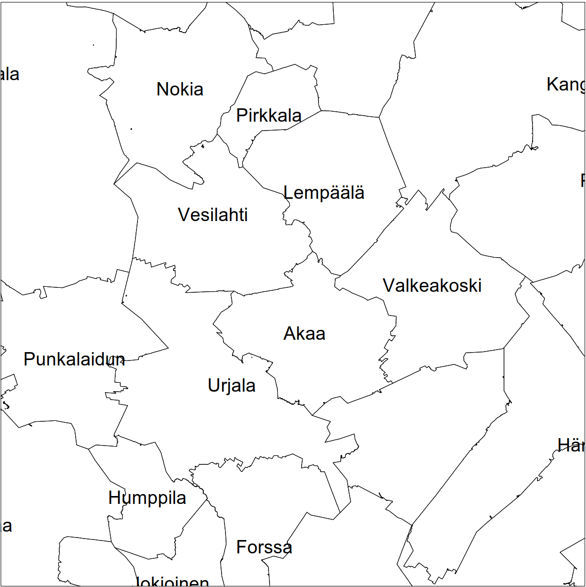
Division into administrative areas (vector) is a dataset depicting the municipalities, regions, Economic development centres and the national border of Finland.
The Division into administrative areas products in vector format contain the number codes of the municipalities, the names of the municipalities in both Finnish and Swedish as well as municipal boundaries and municipal geographical areas. In addition, the products include the corresponding information about the regions, the Economic development centres and the nation as well as a specification of the municipality's area into land and water area. The municipality's area is not included in the XML/GML and GeoPackage format.
The dataset Municipal Division is produced in scales 1:10,000, 1:100,000, 1:250,000, 1:1,000,000 and 1:4,500,000. The data included in the dataset in scale 1:10,000 are taken from the Cadastre. Regarding other scales, municipal boundaries have been generalised to suit the scale in question.
The product is a part of the open data of the National Land Survey.
Purpose:
Divisions into administrative areas can be used as a background material, in different kinds of analyses and as a starting material for map products.
Geographic location
Entire Finland
Reference system
ETRS89 / TM35FIN(E,N) (EPSG:3067)
Scale
10000
100000
250000
1000000
4500000
Pixel size
1 m
8 m
32 m
128 m
512 m
Spatial representation
Vector
Spatial representation info
Full surface graph
Data content
Divison into administrative aras (vector) is a dataset depicting the municipalities, regions, Economic development centres and the national border of Finland. The product is available in the following scales: 1:10,000, 1:100,000, 1:250,000, 1:1,000,000, 1:4,500,000.
The information product specifications for 2025 and older versions can be found at (in Finnish): http://xml.nls.fi/Kuntajako/Asiakasdokumentaatio/Tietotuoteselosteet/
The scheme document (XML/GML, in Finnish/English): http://xml.nls.fi/Kuntajako/Asiakasdokumentaatio/Skeemakuvaus/NLSF_AU_schema_documentation_4.0.html.
Maintenance
Maintenance
The new Division into administrative areas (vector) products are made at the beginning of the calendar year in January following the update of the municipal division dataset.
The product is available from the NLS MapSite's Download geospatial data -section according to the above-described updating rhythm.
Quality information
Lineage
Division into administrative areas (formerly Municipal Division) is a dataset produced by the National Land Survey depicting the divisions based on municipalities, regions, Economic development centres and the national border in all of Finland.
The Municipal Division dataset, which has been taken from the Cadastre, has been used for making the ungeneralised product Division into administrative areas (vector) 1:10,000. Products in smaller scales are made by generalising:
Product 1:100,000 is generalised from the 1:10,000 dataset
Product 1:250,000 is generalised from the 1:100,000 dataset
Product 1:1,000,000 is generalised from the 1:250,000 dataset
Product 1:4,500,000 is generalised from the 1:1,000,000 dataset
The products that have been derived from these datasets in XML/GLM format correspond to the scheme of the INSPIRE administrative units.
The real estate boundary data of the Cadastre that are kept up to date continuously serve as the source dataset for municipal boundaries. The data concerning changes in municipal boundaries are transferred to the municipal boundaries dataset at the beginning of each year.
The Division into administrative areas products include municipal enclaves if they are suitable for the scale of the product. The municipal division areas of the products contain information on whether the area in question is a main area or an enclave. Based on this information, the enclaves can be removed.
The Division into administrative areas (vector) dataset does not contain shorelines; they have to be acquired from some other dataset that has the corresponding scale.
Division into administrative areas (vector) products (formerly Municipal Division) have been produced in the XML/GML format since 2012, other formats have been introduced later. Annual versions of all file formats starting from 2012 are available in the Download geospatial data section of MapSite.
Distribution and further information
Responsible party
National Land Survey of Finland
Conditions applying to access and use
Mention the name of the Licensor (the National Land Survey of Finland), the name of the dataset(s) and the time when the National Land Survey has delivered the dataset(s) (e.g.: contains data from the National Land Survey of Finland Topographic Database 06/2014).
Distribution format
XML/GML
ESRI Shapefile
Pricing
Not based on a decree