The border commissions surveyed the state boundary using various methods and compiled the data into digital material. The updated state boundary has been published in the National Land Survey of Finland’s map services.
The previous review of the state boundary took place in 2003.
Change in river border due to the flow
The review of the state boundary does not move the national land boundary in any direction. However, the location of the river boundary in the Tenojoki (Tana River) basin has changed compared to the previous review, as the deep‑water channel of the river has shifted due to the current.
“The position of the river border at some points in the Tenojoki basin has changed from the previous demarcation, because the river's current shifts the channel that the boundary runs through. Modern advances in technology have also allowed us to measure the border more accurately. However, the change in area is small. Significant islands or islets did not move to the territory of the other state as a result of the demarcation,” says Jyrki Lämsä, Head of Cartography at the National Land Survey of Finland.
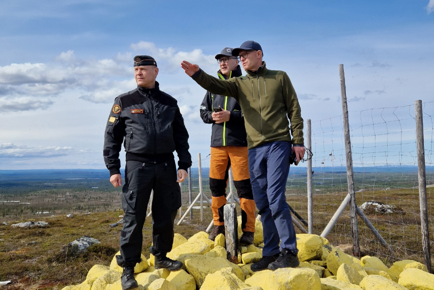
A concrete change was the relocation of border marker 295B along Road E8 in Kilpisjärvi in 2024. The border marker was moved some five metres farther from the road along the border for safety reasons. The move of the border marker does not have an effect on the location of the national border.
“The border marker was too close to the road and susceptible to erosion, which might have caused rocks to roll onto the road and therefore place traffic safety at risk. There was also a mound that limited visibility to the parking area next to the border marker,” says Lämsä.
Updated national border available on the National Land Survey's maps
The current state boundary can be easily viewed in the National Land Survey of Finland’s Karttapaikka service. On the map, the border is shown in dark blue and, over water, in dark purple.
“The current information has been updated in the map materials and is available for maps and spatial data services. The material is made available to citizens, public authorities and others who need the information,” says Lämsä.
For the first time, the spatial data produced during the review of the state boundary has been compiled into digital material that can be used by the public authorities of both countries. The updated data improves the reliability and availability of spatial data on the border area.
“The material can also be updated between reviews of the state boundary. In practice, this means that the Finnish Border Guard can update information on maintenance work when clearing the five‑metre border corridor of tall vegetation,” says Lämsä.

Review of the state boundary with Sweden under preparation
The review of the state boundary is carried out every 25 years. Close cooperation between the Finnish and Norwegian authorities supports stability in border regions and is also part of being a good neighbour.
The review of the state boundary is a demanding process that is carried out on the ground along the entire length of the national boundary. On Finland–Norway border, this means a 737-kilometre border with difficult wilderness areas, waterways and varying weather conditions. This is field work that can only be carried out in summer.
The National Land Survey of Finland is currently preparing for the review of the state boundary between Finland and Sweden, which is expected to begin in the coming years.
The previous review of the state boundary between Finland and Russia was carried out in 2007–2016, and its results entered into force in 2018. The location of the border has been documented and it is in accordance with the current agreements and treaties.
Additional information
Jyrki Lämsä, Head of Cartography, tel. +358 40 524 2508, firstname.lastname@nls.fi
Director General Pasi Patrikainen, tel. +358 29 531 5400, firstname.lastname@nls.fi