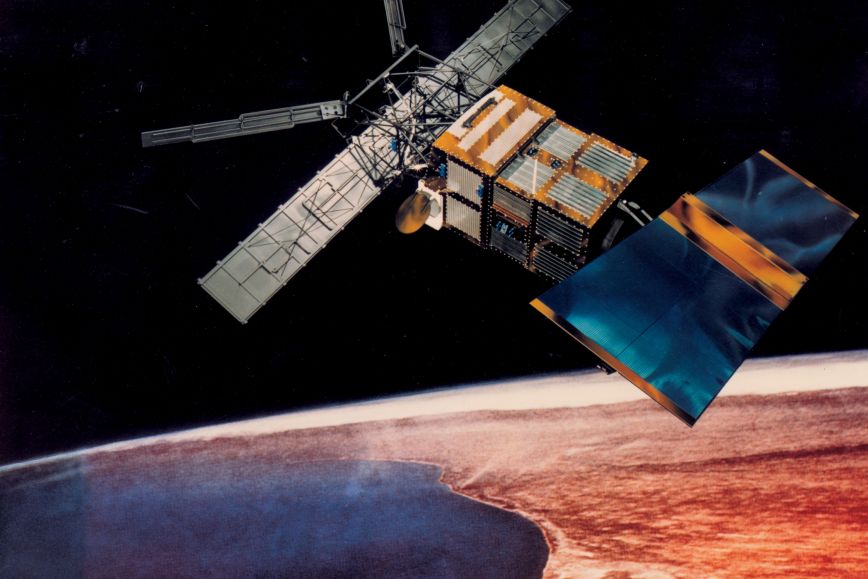
Most of the ERS-2 satellite will be destroyed when it hits Earth’s atmosphere, and it is expected that only a small part of the debris will reach Earth. Some of the satellite’s orbiting rounds pass over Finland, but the likelihood of any satellite parts hitting Finland is small, based on the currently available information. The risk of getting hit by falling debris is also low.
Tracking the falling satellite is part of the responsible management of space debris, the objective of which is to minimise any damage, both in space and on Earth. In Finland, the National Land Survey of Finland’s Finnish Geospatial Research Institute and the Finnish Meteorological Institute are closely involved in the tracking work. They play a key role in improving space safety in Europe.
‘We have significant expertise in tracking space debris here in Finland, and we can react to potential threats even at short notice. Right now, the Metsähovi Geodetic Research Station is developing methods that allow movements of space debris to be measured and predicted even more accurately than before,’ says the director of the research group, Jouni Peltoniemi, from the National Land Survey of Finland.
Space safety is international cooperation
Since 2022, Finland has been an official member of the EU Space Surveillance and Tracking (EUSST) network. The Finnish involvement is managed by the Finnish Meteorological Institute, accompanied by the Finnish Geospatial Research Institute of the NLS. The goal of EUSST is to build global situational awareness of the increasingly complex orbital environment to help prevent collisions between satellites and space debris. The cooperation enables collision warnings and evasion instructions to be given for satellites, as well as more detailed space debris fall predictions.
The Finnish Meteorological Institute already offers a 24/7 on-duty space weather service.
‘The space weather workers are eager to expand their role to tracking the objects orbiting Earth,’ says the group manager of the space weather research, Tiera Laitinen, from the Finnish Meteorological Institute.
‘Our team is currently preparing to establish a Space Situational Awareness Centre as a collaborative effort of the Finnish Meteorological Institute, the National Land Survey of Finland and the Defence Forces. The Space Situational Awareness Centre will allow us to systematically track satellites and space debris and offer more extensive information about them to the authorities, Finnish satellite owners and other interested parties,’ says Laitinen.
Additional information
Jouni Peltoniemi, Research Group Manager, National Land Survey of Finland, firstname.lastname@nls.fi, +358 50 465 4953
Tiera Laitinen, Group Manager, firstname.lastname@fmi.fi, +358 50 380 3279, Finnish Meteorological Institute