Navigation through darkness and icy conditions is demanding. During snowfall, visibility is limited, and visual course guidance is dependent on the crew. In the recently completed ENHANCE project financed by the European Space Agency ESA, researchers from the National Land Survey of Finland and Aalto University as well as the start-up company Fleetrange Ltd, which specialises in maritime situational awareness, investigated whether AI, sensors and satellite tracking technology can be used to support ship navigation and improve the situational awareness of ships.
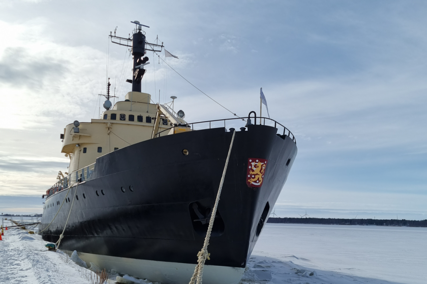
The researchers tested AI based observation and recognition of the characteristics of sea ice. This was carried out with visible (RGB) light and infrared (IR) cameras, in addition to satellite tracking. The icebreaker Sampo from Kemi and the Suomenlinna ferryboat Ehrensvärd participated in the field testing. The results showed that it was possible to create up-to-date situational awareness for the ships.
“The results of the project show that observations with RGB and IR cameras can be used to improve the situational awareness of ships concerning icy conditions. AI based methods proved to work well in recognising ice tracks. The results also give us reason to expect that the use of IR cameras on ships will improve their capacity to operate in dusk and dark”, explains Martta-Kaisa Olkkonen, research team leader at the National land Survey of Finland’s Finnish Geospatial Research Institute.
Improvement of situational awareness benefits both manned and self-steering ships
There are several possible applications for navigation through icy and dark conditions within shipping. The technology tested in this project can be utilised to improve the situational awareness of traditional manned ships. The infrared camera allows the crew to gain better visibility in darkness, also during heavy snowfall. Devices installed on the ships could also collect up-to-date information about the local marine weather and ice conditions.
Data collected by the ships can also be used to support machine learning and thereby to develop the self-steering of ships in icy conditions.
Utilisation of AI for the improvement of situational awareness in icy conditions has up until now only received limited attention worldwide. A lot more marine observations, specifically during wintertime, are needed to develop AI based methods.
“The methods that were developed during the project proved to be functional in marine operating environments, especially during the winter months. A lot more research and development are still needed before completely independent AI driven ships are sailing our seas”, acknowledges Mika Saajasto, senior researcher at the National land Survey of Finland’s Finnish Geospatial Research Institute.
More information
Senior research Scientist Mika Saajasto, +358 (0)46 923 7174, name.surname@maanmittauslaitos.fi
The ENHANCE project was executed under a programme of, and funded by, the European Space Agency (ESA) (ESA Contract Nr. 4000131018/20/NL/GLC/hh). The views expressed in this press release can in no way be taken to reflect the official opinion of the European Space Agency.