Sufficiently early detection and risk management help control tree damage caused by spruce bark beetles. The follow-up study conducted by the University of Eastern Finland in the Sprucerisk project funded by the Ministry of Agriculture and Forestry shows that tree damage is less severe if the swarming of pests can be stopped early.
According to the financial impact calculations of the Natural Resources Institute Finland (Luke), financial losses are the smaller, the earlier forest owners can detect the first signs of insect damage and respond to them.
- Forest owners should know their forests to detect tree damage early. As a result, any harvesting and other measures can also be started early so that the damage cannot spread and financial losses can be minimised,’ says Johanna Tuviala, Project Researcher at the University of Eastern Finland.
The risk model for spruce bark beetle damage built at the University of Eastern Finland helps estimate in which parts of Finland the risk of extensive tree damage caused by spruce bark beetles is the highest. First to enter the test phase, the model is based on open geospatial data and topographic data collected during the project.
Damage caused by spruce bark beetles in fully grown spruce stands has increased as a result of dry and hot summers, longer growing seasons and storm damage. As climate change progresses, tree damage caused by spruce bark beetles is expected to increase further. The Sprucerisk project has developed methods and practices to improve the resilience of spruce forests against various causes in the changing climate.
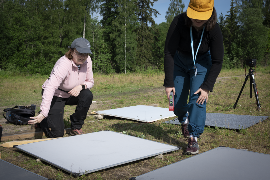
Remote sensing enables new methods to detect spruce bark beetle damage
Accurate information about the spread of spruce bark beetles is a requirement for smart decision making when planning forest management measures. The Finnish Geospatial Research Institute (FGI) of the NLS has developed an AI method to identify individual spruce trees from drone images and classify them into healthy, deteriorated and dead trees. Combining drone images with AI enables zero-emission and drone-based forest health monitoring that can be scaled up to large areas as well.
Free Sentinel 2 satellite images help detect damage when forest damage is already extensive. However, they cannot be used to identify the first stage of spruce bark beetle damage, in which individual dead and diseased trees are scattered over the area. This means that satellite and drone images both have a part to play in monitoring spruce bark beetle damage.
Cooperation in the forest sector is needed to control spruce bark beetles
Keeping trees healthy and preparing for other damage risks are an even more integral part of forestry and forest management. More information about the topic is required. As part of the project, the Finnish Forest Centre provided field training in the forest sector to help identify and control tree damage. In addition, the workshop held by Tapio laid the foundation for an operating policy related to spruce bark beetle damage. In particular, the workshop underlined the difficulty to coordinate the various goals set for municipal forests when damage takes place.
The geospatial data, models, practices, instructions and advisory material produced in the project allow everyone engaged in the forest sector to be cost effective and in close cooperation to target measures that improve the health of spruce stands.
The Sprucerisk project was carried out by the University of Eastern Finland, FGI, Luke, the Finnish Forest Centre and Tapio in 2021–2023.
The Sprucerisk project is part of the Catch the Carbon programme initiated by the Ministry of Agriculture and Forestry in spring 2020 to reduce greenhouse gas emissions in agriculture and forestry and other land use, and to strengthen carbon sinks and stocks.
More information:
Johanna Tuviala, University of Eastern Finland, johanna.tuviala@uef.fi, +358409356819
Eija Honkavaara, FGI, +358401920835, eija.honkavaara@nls.fi
Henna Höglund, Finnish Forest Centre, henna.hoglund@metsakeskus.fi, +358505146542
Jussi Lintunen, Luke, jussi.lintunen@luke.fi, +358295322569
Varpu Kuutti, Tapio, varpu.kuutti@tapio.fi, +358294326052