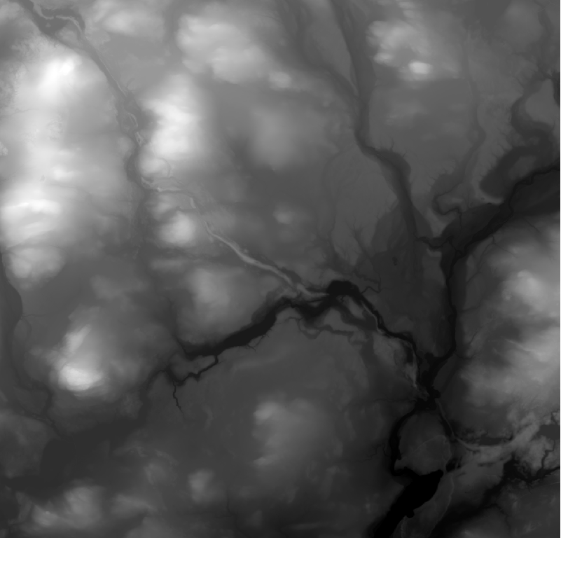
Elevation model 10 m
Elevation model 10 m depicts the elevation of the ground surface of the whole of Finland in relation to sea level. Its grid size is 10 m x 10 m and the accuracy of elevation data 1.4 metres.
The product belongs to the open data of the National Land Survey of Finland.
Purpose:
The elevation model allows for example simulation of receiving, coverage and service areas. It can also be used for mass calculation of excavated material and landfill and for calculating inclinations, steepness or profiles. Application areas are found, for example in geology, geography and forestry.
Geographic location
Entire Finland
Reference system
ETRS89 / TM35FIN(E,N) (EPSG:3067)
N2000 height (EPSG:3900)
Pixel size
10 m
Spatial representation
Raster
Data content
Elevation model 10 m depicts the height of the terrain above sea level. The height values are in accordance with the system N2000.
Maintenance
Maintenance
The product is updated once a month if the data in the Elevation model 2 m product has changed.
The product is available from the NLS MapSite's Download geospatial data -section according to the above-described updating rhythm.
Quality information
Lineage
The elevation accuracy of the product is 1.4 m on average (1.4 m in 95% of the cases and 2 m in 99% of the cases). In the ASCII version the elevation data is expressed in metres (three decimals, e.g. 42.604) and in the GeoTiff version as float values in metres (only the first three decimals are significant). In both versions, objects below sea level have a negative value.
Elevation model 10 m has been derived from Elevation model 2 m in those areas covered by the 2 m model. The elevation value is calculated by interpolating (bilinear) the elevation values of the 2 m model within the 10 m grid. In other areas, Elevation model 10 m has been produced of contour lines made more accurate in connection with the regular maintenance procedures of the Topographical database, of ground surface points digitised in a stereo workstation environment and of all the objects in the Topographical database with a z-coordinate. In these areas, the elevation accuracy of the product is 1.4m on average (1.4 m in 95% of the cases and 2 m in 99% of the cases). In areas derived from the 2 m model the locational elevation accuracy and details are considerably better.
Distribution and further information
Responsible party
National Land Survey of Finland
Conditions applying to access and use
Mention the name of the Licensor (the National Land Survey of Finland), the name of the dataset(s) and the time when the National Land Survey has delivered the dataset(s) (e.g.: contains data from the National Land Survey of Finland Topographic Database 06/2014).
Distribution format
Ascii grid
GeoTiff
Pricing
Processing fees for elevation model data
| Product | Price € (excl. VAT) | Price € (incl. VAT) |
|---|---|---|
|
77103010090
Elevation model 2m and 10m, first sheet
|
110,36 | 138,50 |
|
77103010091
Elevation model 2m and 10m, following sheets
|
18,96 | 23,80 |
|
77103010093
Elevation model 2m, entire Finland
|
1890,84 | 2 373,00 |
|
77103010092
Elevation model 10m, entire Finland
|
945,42 | 1 186,50 |
Not based on a decree