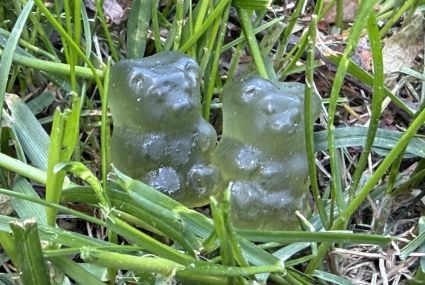
Gummy bears help identify foreign grains
The National Land Survey of Finland’s Geospatial Research Institute (FGI) is involved in developing a new digital solution for identifying and removing foreign grains from fields.

Satellite positioning researchers will meet in Finland to solve positioning challenges
In July, the European Space Agency and the European Commission's Joint Research Centre are holding an international research event on satellite positioning in Finland.

Uncleared estates complicate the management of property matters
When the owner of a property dies, the heirs should apply for a clarification of ownership, i.e. clarification of the title. In Finland, there are 230,000 properties without a clarification of ownership.

Procurement decision made in the joint IT Framework Agreement of the Ministry of Agriculture and Forestry
The joint procurement includes IT expert tasks related to the development and maintenance of information systems, applications, and platforms, as well as expert tasks related to cloud services, architecture, and quality assurance.

No significant changes on the Norway–Finland border
The Finnish and Norwegian border commissions have reviewed the 737‑kilometre state boundary. In connection with the review, the boundary was measured, and all 209 border markers were checked, maintained, and documented.