Reference systems
Reference systems for coordinates and heights are the basis for all geospatial information. Without them, it is not possible to unambiguously represent the location of an object. One of the main tasks of the Finnish Geospatial Research Institute is to create and maintain national coordinate and height systems in Finland.
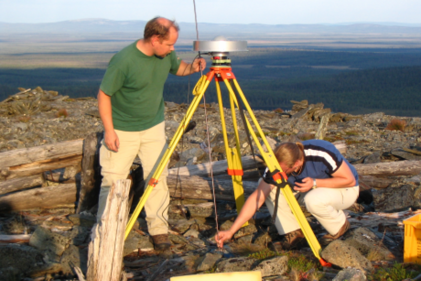
The main focus areas of the Group are the accuracy, precision, and reliability of the measuring techniques and transformations. The group develops the permanent GNSS network FinnRef, positioning service and automated Nordic GNSS processing centre.
Metrology is the science of measuring and measurement units. The Department of Geodesy and Geodynamics is a National Standards Laboratory in Finland with special expertise in length in geodesy and acceleration of free fall. Related to length in geodesy, the group calibrates geodetic baselines, high precision electronic distance meters (EDM), and precise levelling equipment.
Contact persons
Members