– Potential berry and mushroom spots can already be explored at home on a computer or phone by studying our maps and the information they provide, says Heli Laaksonen, Director of Basic Spatial Data Services at the NLS.
In the MapSite service, you can view topographic maps, aerial images and background maps. Locations can be searched throughout Finland by place names, for example. The legend for topographic map symbols, including colours, is available in the NLS’s guide.
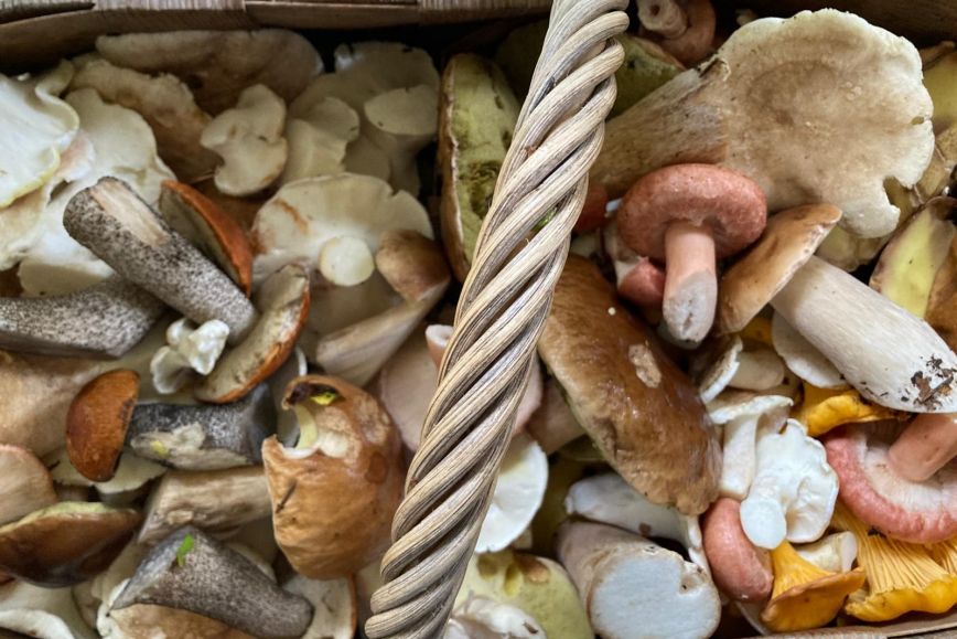
September and October – prime season for lingonberries and funnel chanterelles
Lingonberries grow throughout Finland and produce the largest yield of all our wild berries. Typical habitats are dry and fresh heath forests. Productive berry patches are often found along the edges of logging areas where shrubs are not shaded by trees.
Tips for finding lingonberries in the MapSite
- Explore good berry-picking areas by looking at the colours on the topographic map: forested areas (white on the map) are often good for berry picking.
- Like other berries, lingonberries are also often found at the edges of clear-cut areas, and raspberries may appear a few years after logging. Clear-cut areas are marked on the map with green diagonal lines.
- In the MapSite and Geodata portal Paikkatietoikkuna, you can also view aerial images, which make it easier to spot fresh logging site trails that facilitate access.
Funnel chanterelles thrive especially in mossy, shady and moist spruce-dominated forests and mixed forests. They occur throughout Finland, but are most abundant in Southern and Central Finland.
Tips for finding funnel chanterelles in the MapSite
- Start by checking contour lines on topographic maps to find depressions with a paludified area or a forested marsh – such locations may be suitably moist.
- Switch to aerial imagery to see what the forest looks like. Funnel chanterelles do not require particularly old or natural forests, but they are rarely found on clear-cut sites or in seedling stands. Spruce forests are usually the most promising.
- You can also use hillshade to better visualise terrain features, although contour lines alone are usually sufficient.
Plan your trip carefully and stay safe
When heading to a new area for berry picking or mushrooming, check the road network on the map in advance and plan your route so that you do not inadvertently violate the Act on Off-Road Transport (1710/1995). Driving is prohibited on many private roads. On the map, private roads are marked with a thick black line. Often roads leading to summer cottages are also private, and driving is not allowed.
– It’s always wise to bring some kind of map with you to the forest, or at least a screenshot of the map on your phone. That way you won’t get lost even if your internet connection is lost, advises Laaksonen.
The topographic map layer in the MapSite works well for navigation in forests. It shows the paths included in the NLS Topographic Database, but in reality, there are always more paths and ditches in the terrain than appear on the map.
– The MapSite is easy to use via a mobile browser. With the location button, you can see your own position on the map, provided there is coverage, Laaksonen continues.
It is also a good idea to download the 112 Suomi app to your phone for emergencies, as it will allow the rescue services to more easily find you in the wild. It will show your exact coordinates to the emergency response centre.
Further information
Heli Laaksonen, Director of Basic Spatial Data Services, tel. +358 40 098 8243, firstname.lastname@nls.fi