“The agreement that was now signed on the continuation of aerial photography and laser scanning (the so-called Kallio agreement) strengthens Finland’s national geospatial data infrastructure by offering up-to-date topographic data covering the entire country. Through the agreement, the National Land Survey of Finland produces datasets that help keep the Topographic database up to date. This ensures that the authorities and citizens have access to reliable and up-to-date maps and geospatial data covering the whole of Finland,” says Pasi Patrikainen, Director-General of the National Land Survey of Finland.
The accuracy of the laser scanning data produced during the second agreement period of the programme will increase. There will also be changes in the production cycle of datasets. Data will be distributed on the same terms as during the previous agreement period.
“The State invests in the KALLIO programme and finds it important. The programme implements our strategic goals in, for instance, strengthening the security of supply and sustainable use of natural resources. This data can be used very widely in society, and it is important to make as much use of it as possible, encourages Niina Riissanen from the Ministry of Agriculture and Forestry.
The cooperation within administration is a prime example for the world
Through the national aerial photography and laser scanning programme KALLIO, high-quality datasets covering the whole of Finland have been produced for the needs of society since 2020. The cooperation enables an efficient production and extensive use of the datasets within different sectors.
The data is used extensively among others within the inventory of forests, the planning of land use, the monitoring of the environment, and within the defence and security sector. Thanks to the agreement the costs of the programme will be divided between the participating organisations, which makes the implementation economically possible.
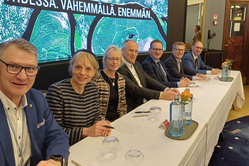
The agreement was jointly signed by the National Land Survey of Finland, Metsähallitus, the Finnish Forest Centre, the Finnish Environment Institute, the Finnish Food Authority, the Defence Forces, and as new partners the Geological Survey of Finland, the Natural Resources Institute Finland, and the Finnish Transport Infrastructure Agency. The agencies within the cooperation body are steered by five ministries which participate in the planning of the programme.
“The coordination of the needs of nine organisations and five administrative sectors is a demanding task, but the KALLIO programme shows that it is fully possible. Even from an international perspective, this kind of cooperation is exceptional – the mutual trust and cooperation within the Finnish public administration have had a decisive role in making the programme succeed,” says Heli Laaksonen, director of Basic Spatial Data Services at the National Land Survey of Finland.
More information
Heli Laaksonen, Director, Basic Spatial Data Services, the National Land Survey of Finland, +358 40 098 8243, firstname.lastname@nls.fi