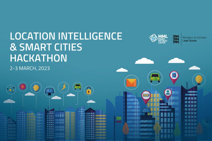
In the international Location intelligence for smart cities -hackathon teams use various sensor and remote sensing data and combine it with any open-source data to derive even more value from the data. The goal of this hackathon is to innovate new ideas and derive additional value by leveraging location-based data from Finland and Estonia in the smart city context.
The hackathon will be held in Helsinki at Maria01 from 2 to 3 March and at the same time online. Apply to the hackathon no later than 22 February. We will organise a webinar on 31 January in which we will tell you more about the challenge of the hackathon and the data used in it.
We offer great prizes, for example 10,000 € to be divided between the top teams and a trip to Leipzig Data Week.
The two-day event is organised by the National Land Survey of Finland and the Estonian Land Board Maa-Amet.
More information on the hackathon website
More information
Senior specialist Joonas Jokela, firstname.lastname@nls.fi, +358 50 329 3069