Researchers Jyri Näränen and Arttu Raja-Halli from the Finnish Geospatial Research Institute (FGI) of the National Land Survey of Finland (NLS) will leave for Antarctica on 17 January to carry out geodetic measurements related to Earth’s shape and its changes, among other things. The research activities include measuring changes in gravity over time and using satellite positioning methods.
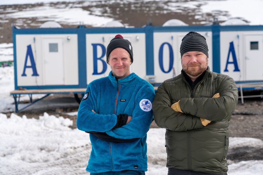
The expedition is implemented by the Finnish Antarctic Research Programme FINNARP, which operates under the Finnish Meteorological Institute. The expedition’s destination is the Finnish Research Station Aboa, located in Queen Maud Land 130 kilometres from the shore and 5,000 kilometres from Cape Town in South Africa.
The research station’s location offers excellent possibilities for the geodetic measurements carried out by FGI’s researchers to study the movements of Earth’s crust. The most accurate data on land uplift in Antarctica can only be obtained through research activities on the spot. This data is needed because the land uplift in Antarctica may have an impact even on Finland in the long term. The research also increases the understanding of the land uplift after the Ice Age that is still taking place in Finland and its underlying mechanisms.
“The goal of the research is to deepen our understanding of the land uplift taking place in the area, as well as other movements of Earth’s crust. The uplift is affected by both the conditions during the last Ice Age and the movements of the current masses of ice, to which Earth’s crust quickly reacts. As most of Antarctica is covered by a thick layer of ice and satellites can only observe changes in the surface level of the ice cover, land uplift modelling is needed to estimate the impact of climate change on the volume of glaciers and the effect of Antarctica on the rise of the sea level. Our research activities create a foundation for more detailed land uplift modelling in Queen Maud Land and in Antarctica more widely. Antarctica is the key to modelling sea level rise in the northern hemisphere because most of the water released in Antarctica ends up in the northern sea areas,” says research manager Jyri Näränen.
Positioning accuracy is improving
Another task for FGI’s researchers is to upgrade the Aboa station’s 20-year-old satellite positioning receiver with a new one that can also receive the signal from the European Galileo system, among other improvements. The researchers will also install two radar reflectors for remote sensing satellites at Aboa. The reflectors will help build a foundation for a new research method to measure the movements of Earth’s crust in the area.
“With the new satellite positioning receiver to be installed at Aboa, accurate positioning data will be provided from an area of thousands of kilometres in Antarctica that would otherwise be out of reach for accurate satellite positioning. New receiver strengthens the coordinate reference frame of Antarctica and improves the accuracy and reliability of all research utilizing location based data. Accurate data from Antarctic will be used for updating global coordinate systems. Satellite positioning, also in Finland, takes place in essentially global systems. Satellites orbit Earth, and measurements from everywhere on the planet’s surface are needed for modelling it,” says researcher Arttu Raja-Halli.
Every year, a Finnish expedition leaves for the Aboa Research Station with a composition that varies according to the research topics. The replacement of the satellite positioning receiver to be carried out this year is an important investment in infrastructure, providing data that will serve researchers and society for years to come.
Further information
Hannu Koivula, Professor, Director, Department of Geodesy and Geodynamics+358 50 430 1639 firstname.lastname@nls.fi
Jyri Näränen, Research Manager, Finnish Geospatial Research Institute (FGI) at the NLS,
tel. +358 50 435 7258, firstname.lastname@nls.fi