Are you wondering what field you should study? Have you heard about the opportunities available in the land surveying and geospatial data sector?
Land surveying and geospatial data sectors are diverse fields of the future. The versatile work duties, roles with social impact and good opportunities for career advancement attract many people to the sector. This field offers studies in vocational schools, as well as in institutes of higher education.
If you are interested in topics such as technology, environmental sciences, social issues, people and maps, keep reading!
Diverse career options and great employment rate
In a modern society, such as in Finland, many functions need geospatial data to work. Courier services, construction, weather forecasts and urban development are examples of fields that are only possible when geospatial data is correct and up-to-date. Geospatial data is utilised in all sectors of society, and as an expert of the land surveying and geospatial data field you can access a wide range of interesting roles and job opportunities. You can work for local and regional authorities, the government or companies specialising in geospatial data. Your employment prospects are excellent.
Graduate as a surveyor from a vocational school
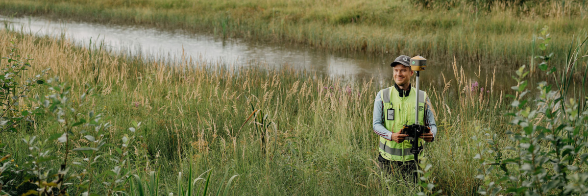
You can graduate as a surveyor from a three-year basic degree programme at a vocational school. The studies of adult students may even take less time. The work assignments of a surveyor may take place in an office or outdoors. When carrying out fieldwork, the duties may include parcelling summer cabin plots or measuring construction sites, for example. In an office, surveyors may carry out duties such as updating the map of Finland or sales and training work.
Study to become a surveyor at:
- Helsinki Vocational College and Adult Institute in Helsinki
- Tavastia Vocational College in Hämeenlinna
- Riveria Vocational College in Joensuu
- Lapland Education Centre REDU in Rovaniemi
- Turku Vocational Institute in Turku
Learn more about the surveyor degree and the available study locations via Studyinfo
Graduate as cadastral surveyor through a university of applied sciences
The bachelor degree programme of a cadastral surveyor in a university of applied sciences allows you to study areas such as geospatial data technology, cadastral procedures, land use planning and field surveying. As a cadastral surveyor, you can work in roles such as cadastral or land surveyor, planner, app developer or project manager.
You can study to become a cadastral surveyor in:
- Metropolia in Helsinki
- the Swedish-speaking Novia in Vaasa
- Lapland University of Applied Sciences in Rovaniemi.
Learn more about the cadastral surveyor degree and the available study locations via Studyinfo
Graduate as a Master of Science in Technology from a university
In Aalto University, you can study in the real estate economics and geo-informatics degree programme, graduating as a Master of Science in Technology. This degree offers many opportunities in either real estate economics, geo-informatics or a combination of these fields. The education focuses on fields with social impact that allow developing the well-being of both people and the environment.
The job description of masters of science in the field of geospatial data and land surveying is expansive. As a master of science in technology in this sector, you will have competence in areas such as real estate economics, social challenges and solving them, project management, and research.
Learn more about the degree programme on Aalto University's website (In Finnish)


