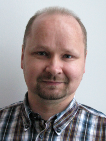
Hannu Koivula

Contact person in projects
Previous projects
-
EMRP SIB60 Metrology for long distance surveying
In EMRP SIB60 project we participate in the European Metrology Research Programme Joint Research Project “Metrology for long distance surveying”.
Read moreRead more about EMRP SIB60 Metrology for long distance surveying -
Geodetic SAR for Baltic Height System Unification and Baltic Sea Level Research (SAR HSU)
In addition to the tide gauges, sea level research nowadays is based on a number of measurement systems, which all have their own characteristics and deliver different type of observations. In order to analyze all observations they need to be available in a common reference frame.
Read moreRead more about Geodetic SAR for Baltic Height System Unification and Baltic Sea Level Research (SAR HSU) -
Intelligent Shipping Technology Test Laboratory (ISTLAB)
The goal of the project is to build a jointly used laboratory and innovation environment for the study and development of smart maritime transport.
Read moreRead more about Intelligent Shipping Technology Test Laboratory (ISTLAB) -
KaRef
In Finland, there are free nationwide reference systems, EUREF-FIN coordinate system, N2000 height system and FOGN gravity system. On top of these there is a national geoid model FIN2005N00 that is a transformation surface between EUREF-FIN and N2000 heights. In this project, we research some aspects that support decision making when future reference systems are to be created.
Read moreRead more about KaRef -
Renewal of FinnRef
In 2012-2013 FinnRef will be upgraded to a modern GNSS network.
Read moreRead more about Renewal of FinnRef -
Support Grant for the Galileo Reference Centre
This project is a coordinated effort among four partners from three EU members states (Netherlands, Sweden and Finland). The consortium provides GRC access to a range of facilities and expertise at the member state level for Galileo service performance monitoring.
Read moreRead more about Support Grant for the Galileo Reference Centre

