Figure 1. Are you able to use geospatial information? Is the geographic information (GI) usable? Are you able to access the geospatial information? Can you find solutions for your GI problems?
”Where can I find my way along a tunnel to the railway station so I don't get wet in this November rainstorm?” Future ubiquitous geospatial applications will provide support to this kind of problem. They are able to adapt to the needs and usage context of different kinds of users. For example, they can deliver the least crowded route from the Stockmann department store in Helsinki to the railway station by utilising the underground routes.
But we are not at that stage yet. Although user-centred design (UCD) is becoming a more popular way of designing applications, and the benefits are known, we are just in the beginning with the usability of geographic information.
What is geographic information?
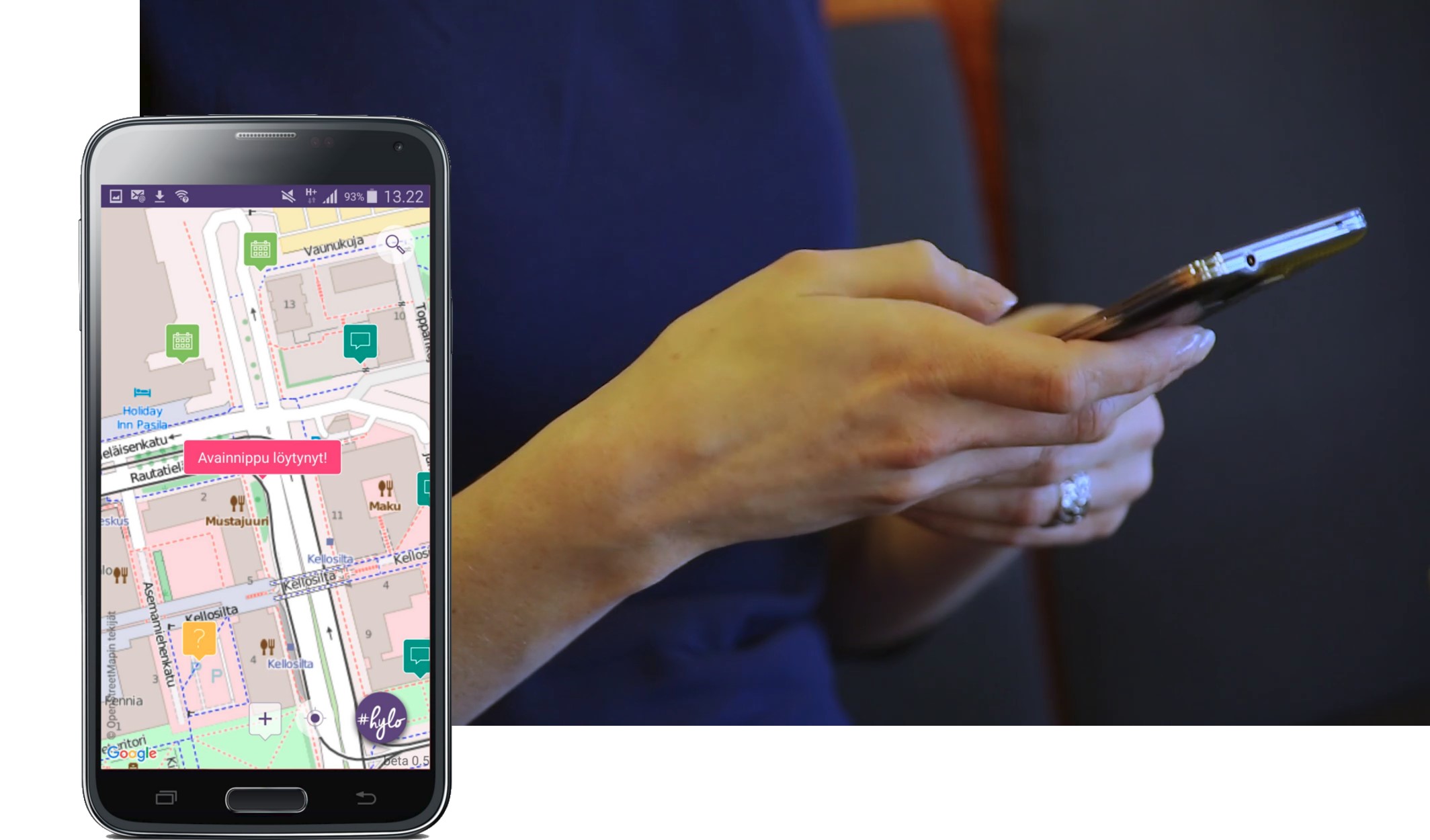
Geographic information (GI) tells that there exists, has existed, or will exist something in a specific place. GI is a kind of map in digital form. It has a data model, according to which GI has been stored into the system's database. Most of us are familiar with geospatial information in printed maps, different kinds of tourist maps on the Web such as Google Maps and in different kinds of address search services and navigation applications. The end-user interacts with GI almost always through some kind of user interface. The map is usually the central element in the user interface, but it can also be complemented with text, diagrams, or photos. Route information is often given as instructions about the course and turns, which can also be given to the user as voice instructions.
The user interface for GI is, however, conceptually a very versatile ‘object’. In the core of it is a map, which can be regarded as a graphical representation of GI. On webpages and mobile applications maps might be embedded within a larger application, and we can see that the map may have a supporting role. On the other hand, the map as such may be an user interface to access many kind of location-dependent information. By selecting a specific house on the interactive map, for example, we can get the ground plan of a store, and by then selecting the plan, we can get the products sold in a specific department. All this may be interpreted as geographic information. Most of our daily life may be connected to some specific place and location; a map is a potential user interface to find those places.
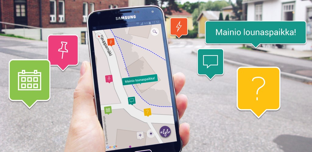
Figure 2. The map may have a supporting role or be an user interface to access many kind of location-dependent information.
Means for good usability?
The usability of GI and maps is currently based on usability research in general. The international ISO standard (ISO 9241-11) defines usability as: “the effectiveness, efficiency, and satisfaction with which specific users achieve specified goals in particular environments.” Jakob Nielsen, who is considered the most famous pioneer of usability engineering, has extended the ISO definition to cover such criteria as good learnability, easy to use, a low number of errors in usage situation, and the memorability of the user interface. These general principles of good usability can also be applied to support the design of geospatial applications and to evaluate the usability of GI and GI applications.
The main targets for designing geospatial applications are the design of the GI contents, the cartographic layout, and the user interface. Good design is user-centric. You have to take into account the user group, usage situation, and the task for which the user needs the application. Especially in user-centred design, the design of the user interface is often the concrete target of design. But more and more often, the usage situations and user experience are also considered in the design process. Then the design of user interface is preceded by a user study, with which we try to understand the needs and context of the users.
Geographic information as an information product
In addition to studying the usability of GI from the point of view of the end user as a part of the user interface, the point of view is being moved to the expert use of GI. In addition to studying the usability of GI from the regular end user point of view also expert use of GI is focused more.
GI can be regarded as an information product that is obtained from the data provider as files or through direct access from a service interface. The concept of usability then becomes closer to the concept of quality, especially when the quality is understood as a measure of fitness-for-use in a certain usage situation. The usability of the information product may be experienced in very different ways in different parts of the value chain, even for a single usage situation. The requirements and wishes for GI, including aspects related to the quality, documentation, and metadata, may vary quite a lot among developers, managers, and experts who use GI.
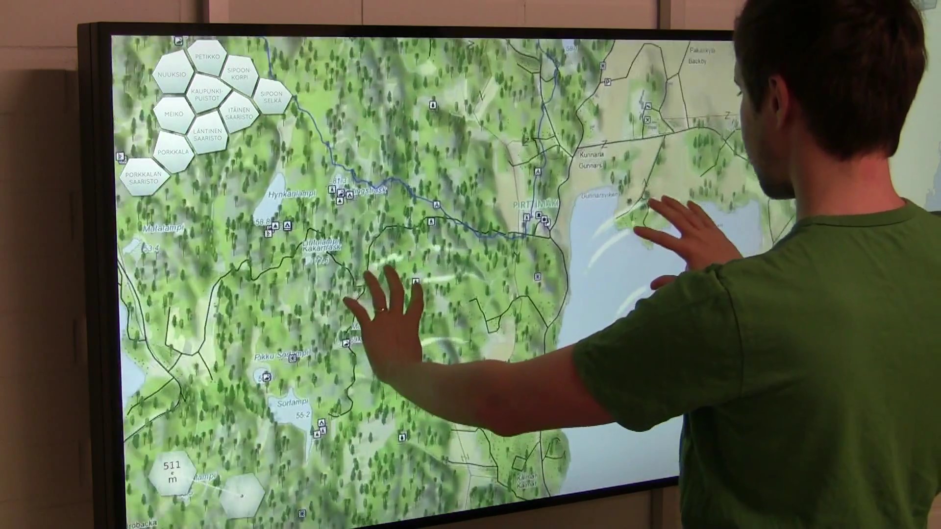
Figure 3. The user interface of the application and the device on which the application is running must be good and usable. But this alone is not enough.
The meaning of geographic information for end users
In order to access GI easily, the user interface of the application and the device on which the application is running must be good and usable. But this alone is not enough. The GI can be meaningful to you as a user only if:
- the GI is up-to-date and valid
- the GI is presented in a comprehensible way, and it is transmitted in a suitable amount for your task; the information is generalised so that it is fit for the purpose
- the GI is meaningful exactly for the problem you are solving and it has added value for you.
Geographic information is integrated more and more within the mainstream of information and communication technology. We justify our decisions about it: "If I choose the fastest route that is shown on my ubiquitous map to the railway station, I still have time to take an advertised hot glug before my Pendolino train leaves for Turku." The users are waiting for usable services that utilise geographic information.
References
Sarjakoski, L. T. ja T. Sarjakoski, 2009. Paikkatietojen ja karttakäyttöliittymien käytettävyys. Tietoasiantuntija, (5/2009): 14-15.