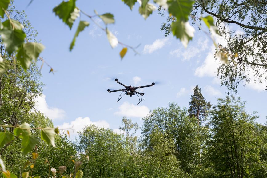
Drones as tools in low-emission autonomous aviation
Launched last year, the LIFT Future Aerospace Center is a research and innovation cluster for aviation of the future at the new Pyhtää airfield.
The NLS participates in its activities to identify how the expertise and research of the Finnish Geospatial Research Institute (FGI) can promote the shift to low-emission autonomous aviation. The FGI is developing more efficient, accurate and reliable methods for drone positioning, navigation, and data analysis.
‘At the end of August, three of our research departments participated in the TechRunway event in Pyhtää. We demonstrated Lidar remote sensing, autonomous drones and solutions for reliable navigation, among others. Our demonstrations attracted a large number of interested visitors. We are in a good position to move forward,’ says Eija Honkavaara, Research Professor at FGI.
The research cluster’s goal is to strengthen research, development and innovation cooperation in aviation of the future and support the launch of new business in the sector in Finland. Its facilities are located at Helsinki-East Aerodrome in Pyhtää. It has a separate laboratory dedicated for drones.
Open source to serve society
The NLS’s principle is to prefer the use of open source in the procurement of IT services and in the publication of IT services developed by the NLS. The goal is to maximise the benefits provided for society. As a rule, the results of publicly funded activities must be openly available, and there must be specific grounds for any non-publication. For example, copyrights and information security determine whether applications can be published as open source in full or in part.
This year, the NLS has published the Hakunapi component as open source. It produces API services in accordance with the OGC API standards. At the NLS, the component is used in query services for land information and geospatial data.
The services enable searching for data in the cadastral register, Topographic Database, nomenclature register and other geospatial datasets using diverse location and feature filters. Data retrieved from the API can be used in geospatial data, web and mobile applications that support the OGC API standards.
‘The Hakunapi component is a modular high-performance tool designed for software developers. Its publication as open source helps other providers of geospatial data to build their own API services,’ says Teemu Sipilä, Senior IT Specialist at the NLS.
More information
Sustainability Specialist Annukka Kokkonen, 050 467 0911, firstname.lastname@nls.fi