Satellite positioning (GNSS) is used by many critical functions in society, such as the construction sector, rescue services, the finance industry, telecommunications networks and electrical grids. However, GNSS signals are weak and therefore sensitive to interference. Interference can be caused by, for example, the environment and atmosphere (particularly the ionosphere) or various unintentional equipment malfunctions. Signals can also be deliberately jammed or spoofed.
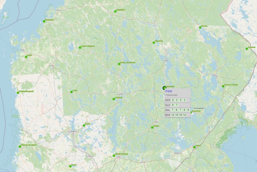
Currently, the quality of the satellite positioning signal in Finland is monitored by the GNSS-Finland service developed by the National Land Survey of Finland and funded by Traficom.
This new project will further develop the GNSS-Finland service. The project will start by identifying what kind of services end-users need and in what format the information should be available. The project will run from 2022 to 2023. It was commissioned by the National Emergency Supply Agency and is being implemented by the Finnish Geospatial Research Institute of the National Land Survey of Finland, which specialises in research, methodology and development. As the competent authority responsible for the monitoring of radio frequencies and keeping them interference-free, Traficom is responsible for providing situational awareness of GNSS.
“An increasing number of sectors essential to the functioning of society make use of positioning and timing data from satellites. However, the GNSS services that transmit this data are susceptible to interference, and this cooperation will help us improve our level of preparedness,” says Senior Preparedness Specialist Tuomas Seppälä of the National Emergency Supply Agency.
“There is a growing demand for research on the availability of and interference with GNSS timing and positioning, both in Finland and internationally, due to the increasing number of services that rely on them, and this will become even more pronounced as the development of smart transport progresses,” says Professor Sanna Kaasalainen, director of the Department of Navigation and Positioning at the Finnish Geospatial Research Institute.
Research supports security of supply of satellite positioning
The Finnish Geospatial Research Institute of the National Land Survey of Finland will bring in a dedicated unit to support the security of supply of satellite positioning. The Department of Navigation and Positioning specialises in the study of satellite positioning and interferences with it and produces the most advanced knowledge in the field internationally.
Funded by the National Emergency Supply Agency’s Digital Security 2030 programme, the project will improve national security of supply while promoting scientific research in the field.
The project will develop an improved GNSS service that will make more efficient use of existing infrastructure. The situational awareness can be built on the basis of user needs separately for each individual user, which will be easier in the future with the use of service interfaces.
More information
Senior Preparedness Specialist Tuomas Seppälä, the National Emergency Supply Agency
tel. +358 (0)29 505 1111
tuomas.seppala@nesa.fi
Professor Sanna Kaasalainen, director of the Department of Navigation and Positioning, the Finnish Geospatial Research Institute of the National Land Survey of Finland
tel. +358 (0)50 369 6806
firstname.lastname@nls.fi