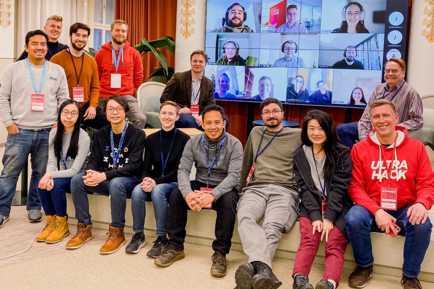
In the Location Intelligence for Smart Cities hackathon organised jointly by the National Land Survey of Finland (NLS) and the Estonian Land Board Maa-Amet, fourteen teams competed in developing the best innovation based on the provided data. The event used harmonised and open-access geospatial data material, such as 3D buildings, road networks and climate data from several European countries.
‘Even though the event was relatively short for a hackathon, the participants were able to produce great examples of how location-based data can be used in the context of smart cities through their enthusiasm and perseverance,’ says Joonas Jokela from the NLS.
‘For us, the event was an important opportunity to receive feedback on the GeoE3 data and whether the new OGC standards support the use of geospatial data across national borders. We also obtained information on how the data material and distribution platform can be developed further,’ says Ann Rehemaa, spatial data specialist at Maa-Amet, who worked as a mentor at the event.
In the tight competition, the top four contenders were the Make a BIM, SPADE, Chaos Architects and CityPulse teams. The final results of these teams showed great potential in how to globally use the data produced by the GeoE3 project. The teams share the prize money, and some of them get to participate in the Leipzig Data Week event in June and present the applications to a European audience.
The winner: a BIM application using AI
Several hackathon veterans participated in the two-day event. Leo Salomaa, an architect and entrepreneur, joined the event with two colleagues to continue developing his previously created innovation. The Make a BIM application, which was chosen as the winner, generates building information models with the help of artificial intelligence.
‘During the hackathon, we study how the data provided by the GeoE3 project, especially 3D buildings, can be used. I would say that the data appears to be useful. For example, the roof angles and building heights could be used,’ says Salomaa. In Salomaa’s team, the problem was tackled by mathematician Jami Valorinta and data engineer Ville-Matti Tanninen. From Salomaa’s perspective, it is important to receive feedback on the innovation for further development.
Mentors have an important support function
During the hackathon, the teams were assisted by mentors. The mentor’s task is to support the teams in the different work stages, provide information support on the data material, and assist in their use. Spatial data specialist Alpo Turunen from the Finnish Geospatial Research Institute FGI participated in a hackathon as a mentor for the first time, mentoring six different teams.
‘The teams have had very different ideas – some of them quite wild and others more traditional. It has been interesting to see how the work is progressing and what the final implementations will be like. Initially, I was unsure of whether I would be of sufficient help as a mentor, but I was happy to quickly find out that I am,’ Turunen says.
New solutions require interoperable data
The main goals of the GeoE3 project include promoting the accessibility, interoperability and usability of national data materials in Europe. The event showed that the harmonised data provided by the project can be used for innovative solutions.
‘The benefits of data come from local use, but the application developers need up-to-date data from a single place. Without the GeoE3 interoperability solution, this is only possible for global operators. You could say that smart cities need smart countries that ensure the data is available,’ says Antti Jakobsson, project manager for the GeoE3 project at the NLS.
The best teams in a nutshell
- Make a BIM: an easy-to-use and scalable method for generating BIM models for old building stock
- SPADE: a solution for modelling storm waters and flood risk areas with the help of an elevation model, satellite imagery and location data
- Chaos Architects: a tool for improving the energy efficiency of a built-up area
- CityPulse: a mobile application that connects information on users’ movement to GeoE3 data for the real-time observation of events taking place in a city