

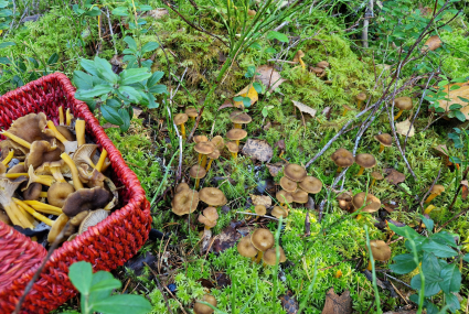
Using maps to find the treasures of the forest
The maps of the National Land Survey of Finland and related services, such as MapSite, provide comprehensive information about Finland’s nature. Free maps and aerial photos allow you to plan berry-picking and mushroom-foraging trips and find new spots across the country.
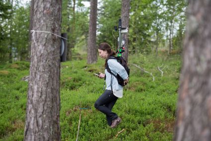
Refined carbon footprint calculation – “We must increase our expertise in sustainable procurement”
Emissions increased by about 10 % compared to the previous year. More accurate data, the development of the calculation method, and operational changes were the primary contributors of growth.
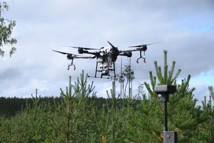
Can robotics help reduce damage caused by elks?
Our scientists investigate whether drones could be used to spray elk repellent on the seedlings they identify with the help of artificial intelligence.
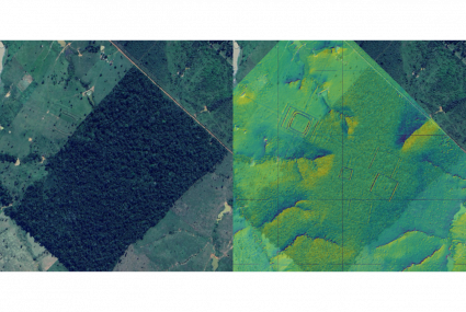
A surprising technique helps Finnish researchers make a groundbreaking discovery in the Amazon
In a Finnish-led study, a groundbreaking archaeological discovery was made when laser scanning of the Amazon rainforest revealed thousands of traces of the ancient Aquiry civilization.
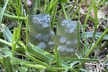
Gummy bears help identify foreign grains
The National Land Survey of Finland’s Geospatial Research Institute (FGI) is involved in developing a new digital solution for identifying and removing foreign grains from fields.