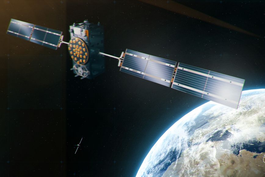
A large-scale disruption in satellite positioning would cause immediate and major economic damage, halt operations and pose security problems to all the activities relying on it. Satellite positioning, or GNSS, is widely used in society’s critical functions, including rescue services and financial transactions in stock exchanges and banks. Disruptions in positioning can be caused by natural phenomena such as space weather or intentional interference.
There is a growing awareness in the EU of the need to prepare for GNSS disruptions, and there is also a consensus on the need among the scientific community. This view is also shared by the National Land Survey of Finland, which stresses that societies should develop their preparedness for large-scale GNSS interference. Research is key to improving preparedness. Positioning research is one of the National Land Survey of Finland’s competence areas.
“Scientific research provides us with knowledge about GNSS interference, and how to prepare for it. GNSS jamming has increased, and with it, the risks to societies are also growing. We are conducting research on the topic, but we need much more study in this field. In particular, it is important to further study the resilience of satellite positioning, and how we can build preparedness around it. Of course, further research requires more resources, but it is the most effective way to develop preparedness,” says Sanna Kaasalainen, Professor and Director of Navigation and Positioning at the Finnish Geospatial Research Institute (FGI) of the National Land Survey of Finland.
Increasing disruptions in positioning increase the need for preparedness
The need for preparedness has increased due to the rise in intentional GNSS jamming. Satellite positioning interference in the Finnish territory has increased significantly since 2022. According to the Finnish Transport and Communications Agency Traficom, which monitors frequency use and interference in Finland, there were 1,200 GNSS interference reports from aviation by May 2024, compared to only 239 reports the previous year. Such interference affects users of satellite positioning, particularly in aviation and maritime transport.
One of the research areas of the FGI at the National Land Survey of Finland is the safe and reliable use of positioning. The National Land Survey of Finland is currently running projects focusing on GNSS interference resilience and methods to mitigate its effects.
“There is no universal fallback system to replace GNSS positioning, but there are various alternatives that are independent of GNSS. They are typically tailored case-by-case using sensor or other radio frequency solutions. For timekeeping, fallback systems include atomic clocks and time transfer services based on them. We should further test these systems and develop GNSS-independent positioning,” says Kaasalainen.
Further information
Sanna Kaasalainen, Professor, Director of Navigation and Positioning at the Finnish Geospatial Research Institute, +358 29 531 4760
Jarkko Koskinen, Director General, Finnish Geospatial Research Institute at the National Land Survey of Finland, +358 50 337 2902, firstname.lastname@nls.fi