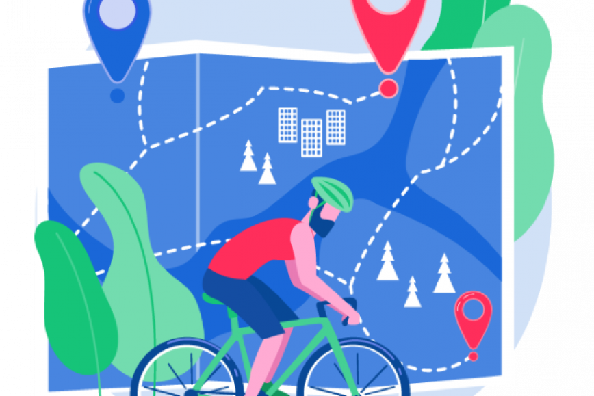
How can cities receive useful information about, for example, cycling route usage and problematic road segments, while safeguarding the privacy of road users? Researchers at FGI explored this question in the Geoprivacy project, where participants voluntarily donated data on their cycling and walking routes for research purposes. To support this, the researchers developed a service that allows mobility data to be collected and shared anonymously—an essential goal of the study. During the project, cyclists and pedestrians contributed over 45,000 kilometers of mobility data.
- Mobility data can provide detailed insights at the level of individual road segments or population groups, deepening our understanding of transport systems and human movement. However, mobility data can also reveal personal information about users, such as visited places, habits, and individual characteristics. Therefore, it is crucial to consider data privacy, says researcher Anna Brauer, who recently defended her doctoral thesis titled Preserving privacy and utility for urban microscale analyses in spatiotemporal trajectories.
Precise individual-level geospatial data could help identify areas for improvement in traffic systems—but privacy must be respected
Fitness applications on smartphones have become part of everyday life, leading to a significant increase in the volume of individual-level mobility data. Such data could be used as a tool in urban planning—for example, to identify where new pedestrian and cycling routes are needed or to locate problematic areas in the existing road network. Similarly, the data could support the updating of geospatial datasets representing transport networks, such as the Topographic Database.
Currently, location data collected from individuals is typically retained by private companies that develop the applications, serving their own business interests. This data is rarely shared for broader use. Raw human mobility data constitutes personal data, and its use is strictly regulated by the EU General Data Protection Regulation (GDPR). As a result, individual-level data often remains underutilized in broader societal contexts.
The Geoprivacy project investigated methods for publishing individual-level movement data while preserving personal privacy. Anna Brauer’s recent doctoral research offers one solution by presenting methods for transforming the data so that particularly identifying features are hidden, while its informational value for various applications is retained.
- Fitness tracking data could be used to detect hazardous locations and implement corrective measures. If such data could be collected and shared anonymously for use by researchers and urban planners, it could be leveraged for future studies and planning efforts, Brauer suggests.
More information
Anna Brauer, Researcher, Dresden University of Technology anna_elke.brauer@tu-dresden.de
Ville Mäkinen, Research Group Manager, Finnish Geospatial Research Institute +35850 520 8774 ville.p.makinen@nls.fi
Juha Oksanen Prof. Director, Finnish Geospatial Research Institute juha.oksanen@nls.fi +358540 831 4092
An electronic version of the doctoral dissertation will be available in the University of Helsinki open repository Helda: Preserving privacy and utility for urban microscale analyses in spatiotemporal trajectories.
Geoprivacy platform: https://geoprivacy.fi/#/
Open data of the Geoprivacy project shared here: