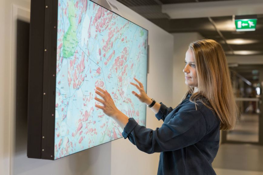
The peer-reviewed article, published in the AASF publication of the Finnish Academy of Science and Letters and produced by FGI researchers, states that spatial data has become one of the most critical resources of digitalisation. The researchers estimate that up to 80 percent of all data is geospatial, and its importance is growing rapidly in the economy, security and public services.
The global value of the spatial data and positioning market is estimated to rise to EUR 1.19 trillion by 2030, compared with an estimated EUR 0.57 trillion in 2025. The figures are based on Geospatial World’s estimate. According to the European Commission, 10% of the European economy is dependent on satellite positioning.
“Geospatial data and satellite positioning are the invisible basic infrastructure of digitalisation. Without them, mobile networks, financial transactions, logistics, rescue services and intelligent transport will not work, “ says Professor Jarkko Koskinen from the Finnish Geospatial Research Institute FGI.
“Global corporations such as Microsoft, Amazon and Alphabet, Google’s parent company, are major players in the spatial data market, leveraging real-time spatial data and positioning in their operations. The amount of and need for spatial data are increasing rapidly with the growth of artificial intelligence and various intelligent services. It is important to invest in compatible and secure spatial data both in Finland and throughout Europe, so that we do not fall behind in development,” he says.
Need for compatible and secure spatial data
The problem both in Finland and in the rest of Europe is that spatial data from different sources are not compatible, which prevents their efficient use.
The objectives of the INSPIRE Directive, which aims at the compatibility of spatial data in the EU, have not been achieved in any Member State, and the compatibility of spatial data remains inadequate. The same applies to Finland.
The importance of spatial data is especially emphasised in satellite positioning, which is a critical part of modern society. Satellite positioning not only provides location, but also accurate time determination, which is essential for telecommunications networks, financial markets and logistics. The article highlights that the security and reliability of positioning are increasingly vulnerable in the current geopolitical situation, which requires reassessment in the current security environment.
Read the article: https://journal.fi/aasf/article/view/156676
Additional information
Jarkko Koskinen, Deputy Director General, Professor, +358 50 337 2902, firstname.lastname@nls.fi