

In the MapSite service, you will find topographic maps, aerial photos and various background maps. Its search function allows you to search for locations by place name, among others. We recommend checking what the map symbols and colours mean in the National Land Survey's legend before going on an excursion.
Autumn is the season of lingonberries and funnel chanterelles
September and October are a good time for picking both lingonberries and funnel chanterelles. Lingonberry is the most abundant wild berry in Finland, which grows throughout the country, especially in dry and fresh forests. They are also often found in abundance on the edges of clear-cut areas, where light reaches the vegetation better.
Finding lingonberry spots on the map
- Take a look at the colours of the topographic map. Forested areas tend to be shown in white and are often well suited for picking berries.
- From the slope shade, you can see the highest elevation, which are often the most suitable, rough growth sites for lingonberries, especially in southern and central Finland.
- Pay attention to clear-cut areas and periphery. You can often find lingonberries around these areas. Clear-cut areas are marked on the map with green diagonal lines.
- Make use of the aerial photos in MapSite. They can allow you to see the vehicle tracks, which make it easier to travel through the forest.
Spot funnel chanterelles in damp spruce forests
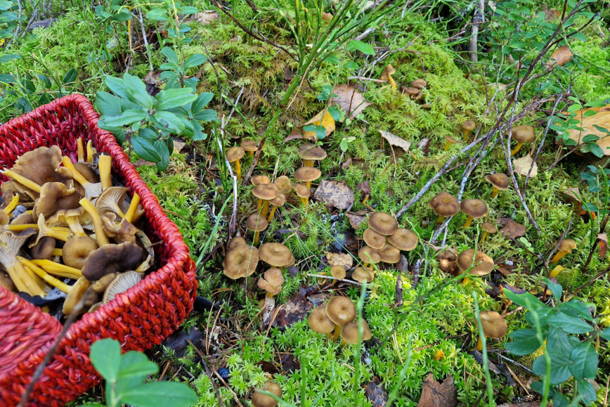
The funnel chanterelle mostly thrives in mossy, shady, and slightly damp spruce and mixed forests. You can find this mushroom everywhere in Finland, but the most abundant spots are usually found in southern and central Finland.
Finding funnel chanterelle spots on the map
- Start by examining the contour lines on the topographic map. Dells, wetlands, and wooded peatland often provide suitably damp growth conditions.
- Check the aerial photo of the area. Funnel chanterelle is usually found in forests, but clearings and young stands are generally not suitable habitats. Spruce-dominated forests are often the best target, especially on north-facing slopes.
- If necessary, use the slope shade to help visualise terrain features. You can also find promising sites with just the contour lines.
Good planning is the key to a safe trip
Before heading to a new area, you should study the map for the roads, paths and topography. It is a good idea to plan your route in advance to avoid travelling in areas where driving is prohibited. Private roads are marked on the map with a thick black line, and the roads leading to cottages are also often private.
The topographic map on MapSite is well suited to support orienteering. It shows the trails in the National Land Survey's terrain database, but there are usually considerably more trails, paths and ditches in the natural environment than what the map shows.
Prepare for emergencies by downloading the 112 Suomi app to your phone. The app communicates your exact location to emergency services, making it easier for help to find you even in the most remote forest areas.