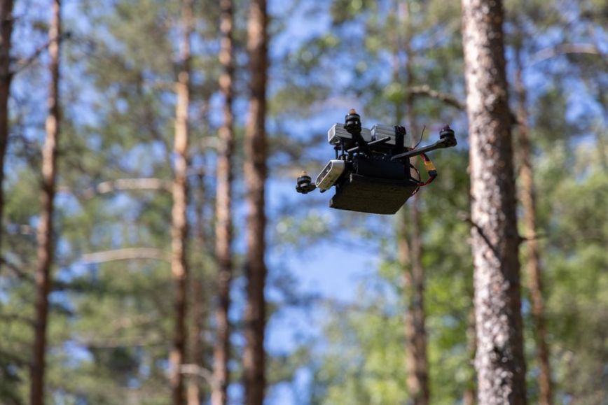
The Finnish Geospatial Research Institute FGI has been using drones for research for almost 20 years, and the results of the research are utilised in society, for example, in preventing forest damage, developing new agricultural applications and researching the urban environment. One key research area is remote sensing with drones, which refers to measuring and studying objects remotely.
- With the help of the research, Finland has developed drone-related expertise and knowledge. In our research, we work closely with companies, universities and research institutes. We research and develop new methods that companies and society can apply in practice,” says Research Professor Eija Honkavaara from the National Land Survey of Finland’s Geospatial Research Institute FGI.
5 topics researched with drones right now
Prevention of sapling damage caused by moose
The HirviDrone project explores the possibilities of drone technology and artificial intelligence in preventing damage caused by moose. There is a need for solutions as moose cause losses worth tens of millions of euros to forest owners every year. Researchers are examining how it is possible to identify saplings treated with a bio-based feeding deterrent from sapling stands and how it is possible to apply the deterrent, which effectively prevents moose damage, to selected individual saplings from drones.
Preventing forest damage with information collected by drones
In the Multirisk research project, researchers aim to develop methods for finding individual trees occupied by a spruce bark beetles at an early stage. This would allow precise actions to be taken to control the damage.
Identification of berry-picking sites and production of berry-picking maps
The Ferox project has studied the development and utilisation of artificial intelligence, data and robotics for berry picking.
The project has used autonomous drones with sensors to collect data, build 3D models of forests and accurately assess the location, number and types of berries.
Artificial intelligence drones detect and prevent forest fires
In the FireMan research project, researchers are developing AI-based technology for rapid forest fire detection and situational awareness during forest fires with the help of an independently operating drone swarm, for example. The project, which requires multidisciplinary expertise, involves the Finnish Geospatial Research Institute, the University of Jyväskylä, the University of Oulu and VTT Technical Research Centre of Finland.
Preventing weeds spreading at an alarming pace to protect agriculture
The goal of the ULRIKA project is to use drones and artificial intelligence to identify barnyard millet, which has been spreading recently in Finland. In previous research projects, it has already been possible to identify individual barley stalks from pure oats by utilising artificial intelligence and images obtained with drones.
Further information
Eija Honkavaara, Research Professor, +358 29 531 4716, firstname.lastname@maanmittauslaitos.fi