The most recent projects use accurate forest maps and autonomous drones to help improve the harvesting quality. It is also studied how gamified mobile apps can be used in the collection of forest data. The projects are carried out under the UNITE competence centre. In its Proof of Concept funding call, the Academy of Finland granted funding for projects that convinced it with their effectiveness potential and ability to harness research data to produce practical benefits.
Detailed data for forest management
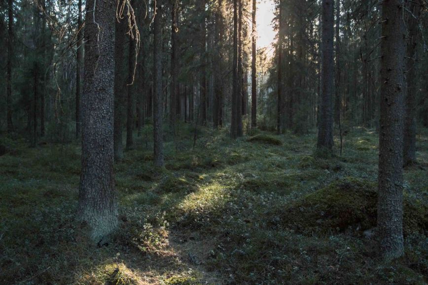
The project led by Professor Juha Hyyppä from FGI for protecting the multiple uses of forests using accurate maps of individual trees focuses on the detailed measurement of trees and the use of this data in forest thinning and management. If too many trees are removed from forests during first thinning, forest growth will decrease and the carbon sequestration goals set to reduce greenhouse gas emissions will be at risk.
‘Finland’s forests serve various purposes, and forest technologies must support increasingly diversifying uses of forests in the future,’ Hyyppä says.
In 2022, Ponsse launched an automated harvester which measures tree properties using a laser scanning system installed in the machine and proposes which trees should be felled. The goal of the project is to improve the accuracy of the data collected by harvesters so that they can identify tree properties, or tree identifiers, even better.
The growing stock is measured precisely in the research, and a digital twin of the forest is created using multi-wavelength laser scanning data. The harvester uses a digital copy of the forest and measures the properties of the surrounding growing stock with its own laser scanner.
The FGI's fairly accurate mobile laser scanning algorithms for interpreting growing stock are further developed in this project.
‘Identifying trees in great detail enables more accurate planning and management for various purposes. As a result, forest management is more purposeful from the perspectives of economy, recreation, carbon sequestration and nature values,’ Juha Hyyppä says.
Autonomous drones to help forest management
The project for using autonomous drone solutions to support forest management based on individual trees (DRONE4TREE) coordinated by Professor Eija Honkavaara from FGI also received funding for promoting the accurate identification of forests.
The project aims to develop and use remote sensing technologies by placing drones in smart boxes that are capable of automatic takeoff, landing, charging and data transfer. The goal is to take a leap forward in the use of drones and real-time remote sensing analyses to support forest management.
‘In this project, we are designing a proof of concept for two interlinked applications, tree quality analyses and decision making in selective harvesting. Through tests and assessments and by listening to users’ experiences, we can implement remote sensing methods to meet the needs of practical applications,’ Honkavaara says.
The project is carried out in close cooperation with companies and other stakeholders. At the same time, the commercial opportunities of new technologies will be investigated.
Fun collection of forest data using gamified apps
In the cooperation project of Senior Research Fellow Timo Nummenmaa from the University of Tampere and Professor Mikko Vastaranta from the University of Eastern Finland for gamified augmented reality applications in observing trees and forests using LiDAR (GamiLiDAR), trees and forests are observed using a mobile app.
In the project, participants move around in forests and play an augmented reality game on a mobile device. At the same time, players collect point cloud and positioning data about forests using the laser scanner of their device such as a mobile phone.
‘We are studying how various forms of interaction can be used to collect data about different forest properties. Our goal is to make the collection of forest data as fun as possible for players and the data collected as useful as possible for users,’ Nummenmaa says.
The purpose of the project is to combine the collection of forest data with other forest activities. As a result, fewer separate measurement campaigns will be needed and new commercial opportunities will be created.
The Academy of Finland granted total funding of EUR 899,061 for the projects. The two-year projects started on 1 January 2024.
The research teams will work as part of UNITE, the Academy of Finland’s flagship, which studies and develops interaction between forests, people and machines. Members of the UNITE competence centre include researchers and research teams from the University of Eastern Finland, FGI, the University of Tampere and the Natural Resources Institute Finland (Luke), as well as a large network of developer partners.
Additional information
Juha Hyyppä, Director, firstname.lastname@nls.fi
Eija Honkavaara, Research Professor, firstname.lastname@nls.fi
Timo Nummenmaa, Senior Research Fellow, firstname.lastname@tuni.fi
Mikko Vastaranta, Professor, firstname.lastname@uef.fi