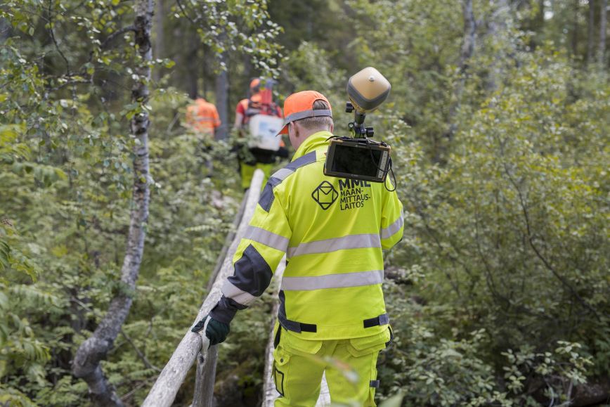
Let’s get back to the start line: What was exciting about land surveying? Excitement may have sparked during a geography class in upper secondary school or when exploring various maps. Someone may have studied maps and drawn their own ones as a child. For many, the opportunity to go to nature and work for the good of people and the environment is an an important part of land surveying. Some may have received the initial push from their interest in the built environment and nature: all the ways of planning cities and developing the use of areas. Municipal and regional planning is important work which has an impact on society at large. Technologies and their development have also attracted many. After all, professional land surveyors can work with various technologies, ranging from measuring devices, applications and systems to even satellites. The field offers an appropriate mix of technology and practicality, with equipment providing information about nature and the built environment, as well as people’s assets if they come in the form of, say, forest plots.
Land surveying studies take three and a half years. The studies offer a diverse background knowledge of the field and many ideas of what specialty to study further. Summer jobs and training periods in the field are highly educational and provide support for studies. Land surveying is more than town plans, plot boundaries and maps: land surveyors can participate in city planning and future visions or work as entrepreneurs to develop geospatial data apps. During a training period, a student was able to facilitate the use of city bikes by inventorying and planning bicycle parking areas for commuters. In the Helsinki region in particular, bicycle parking is an important part of the infrastructure at metro and train stations to access the station by bicycle. Geospatial data helps develop services in a better direction: Where are services required? How much is the data used? How could it be improved?
Land surveyors have excellent prospects on the job market. They can specialise in fields that interest them, as various options are available in working life. Land surveyors build new skills while working, and the technology-driven field never stops moving forward. Continuous learning is motivating and keeps work interesting. Land surveying plays an important role in modern society and the green transition, as land use, area planning and geospatial data help make decisions affecting the future and develop the world.