Cadastral index map (raster)
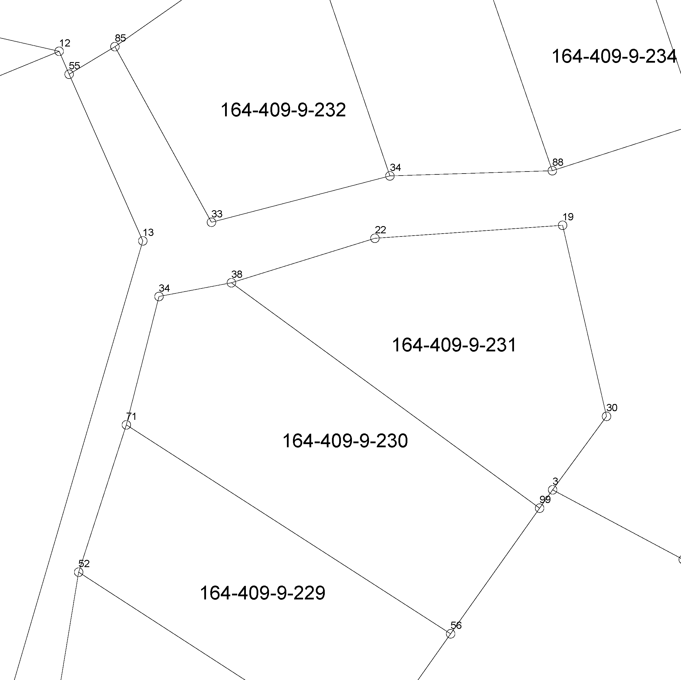
The location of the real property unit is shown on the cadastral index map. On the map, there are property and other register unit boundaries and property identifiers. The product is a part of the open data of the National Land Survey.
Further information (in Finnish): http://www.maanmittauslaitos.fi/kiinteistot/asiantuntevalle-kayttajalle/kiinteistotiedot-ja-niiden-hankinta
Purpose:
The Cadastral index map is needed for instance in connection with land use planning, zoning, property transactions, forestry planning, as a base map for other information, and map services.
Geographic location
Entire Finland
Reference system
ETRS89 / TM35FIN(E,N) (EPSG:3067)
Scale
5000
Pixel size
0.5 m
1 m
2 m
4 m
Spatial representation
Raster
Data content
.Property and other register unit boundaries and property identifiers.
Maintenance
Maintenance
In the interface and viewing services, changes made in the register are updated on the product every night.
In the NLS MapSite's Download geospatial data -section, changes made in the register are updated on the product once a week (Sunday).
Quality information
Lineage
Property boundaries are marked with boundary markers in the terrain when forming a property. Boundary markers indicate the boundary lines of a property. A boundary can also be a natural terrain formation, such as a shore, drainage ditch or road.
The product Cadastral index map (raster) does not include property markers. The product Cadastral index map (vector) does include property markers.
In population centres, the Cadastral index map is mainly based on the municipality's large scale base map material in the plans, the property data of which has been updated.
There can be inaccuracies in the boundary data of the Cadastral index map (raster) because there are no exact coordinates for all boundary markers. The area of a register unit is shown in more detail in the cadastral survey documents (available in the archives of the keeper of the cadastral registry) and the terrain than on the Cadastral index map.
Distribution and further information
Responsible party
National Land Survey of Finland
Conditions applying to access and use
Copyright and other immaterial rights to the Cadastral index map are owned by the National Land Survey and the municipalities. Mention the name of the Licensor (the National Land Survey of Finland), the name of the dataset(s) and the time when the National Land Survey has delivered the dataset(s) (e.g.: contains data from the National Land Survey of Finland Topographic Database 06/2014).
Distribution format
PNG
Distribution channels
Pricing
Not based on a decree