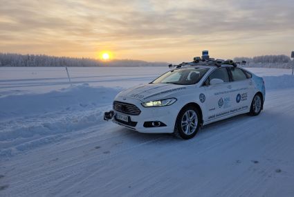
Autonomous vehicles passed Lapland’s winter test
Researchers from the Finnish Geospatial Research Institute FGI, VTT Technical Research Centre of Finland and Lapland University of Applied Sciences tested several technological solutions, such as slipperiness detection using machine vision and accurate vehicle positioning without the possibility to use satellite positioning.
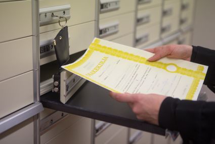
Plans in place to register electronic ownership of share certificates held as collateral for bank loans in 2027
National Land Survey of Finland and the banks are cooperating on a plan for an operating model for converting share certificates held by banks as loan collateral into electronic ownership records in bulk.
A study on the consequences of a cyberattack on Finnish property ownership data?
A cyberattack on property data could cause extensive damage to society across several sectors, from banks to waste management.
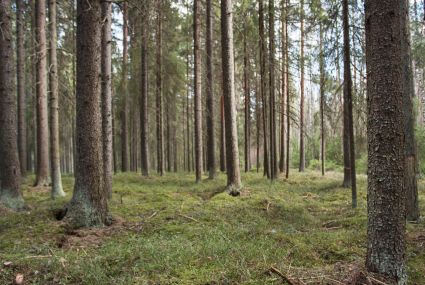
Numbers and prices of forest estate purchases increased in 2025
From the Official purchase price register, the National Land Survey of Finland compiled the prices and numbers of purchases of forest estates and arable land in 2025.
The number of property purchases increased in Finland in 2025
From the purchase price register, the National Land Survey of Finland compiled the real estate prices and numbers of purchases in 2025.