NLS cartographers access different locations to check the position of objects that cannot have been reliably identified based on aerial photos. It is also possible that new roads and buildings have been constructed between different times when aerial photos have been taken, and their location must also be pinpointed. Terrain mapping is carried out more frequently the more changes there are, with the normal interval being three to six years. The mapping season usually takes place between June and October.
‘Cartographers are happy to talk about what they are doing, so do not hesitate to go and talk to them. Mapping is often carried out in a mutual understanding with landowners and owners of holiday homes,’ says Jyrki Lämsä, Head of Cartography at the NLS.
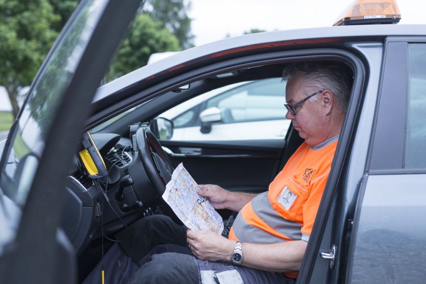
This is how you can identify cartographers
Cartographers usually move around in public areas. They will only access areas outside homes and summer cottages when this is absolutely necessary – for example, when the number or location of buildings cannot otherwise be verified. Cartographers work quickly without disturbing anyone enjoying their time at their summer cottage.
NLS cartographers have
- appropriate work clothing and a high-visibility NLS vest carrying the NLS logo,
- the NLS logo on their vehicle, and
- an ID card which cartographers show when requested.
You can also request a brochure from cartographers for more information on mapping.
Maps can be used free of charge online
Cartographers carry measuring devices with which they save the data they have verified in the NLS Topographic Database. It features the most accurate map data that cover the whole of Finland and are updated continuously.
Once the work done in the terrain has been completed, map updates will also be instantly available in the NLS MapSite service. Its map data can be used freely by anyone. You can also buy printed basic and topographic maps and order map printouts in the service. In addition, you can order elevation models, aerial photos, nomenclature and laser scanning data at the NLS website.
Additional information
You can send any feedback and questions regarding fieldwork in your area to the NLS by emailing maasto@maanmittauslaitos.fi.
Representatives of media services can join cartographers carrying out fieldwork. Call our media service number (+358 29 531 5050) or email viestinta@maanmittauslaitos.fi.
We will respond to messages from Monday to Friday between 9 am and 3 pm.